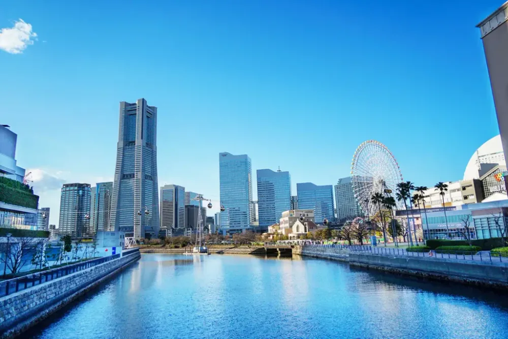
Yokohama, Area by Area: Where the Photogenic Spots Actually Are
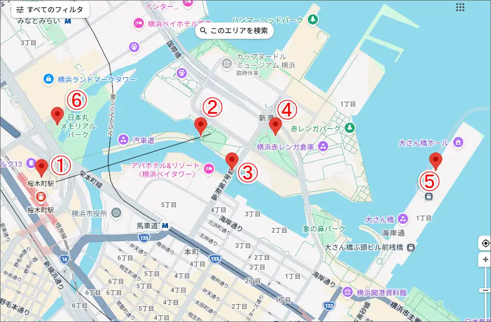
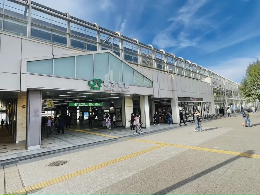
Yokohama's photogenic spots are not scattered at random. The city publishes a marked walking route called the Kaiho no Michi: 3.2 km from Sakuragicho station front, through Kishine-dori and the Shinko district, then Osanbashi, Yamashita Park, and up to Minato-no-Mieru-Oka Park. Follow the round plates set into the pavement with the sailing-ship design.
What follows is the per-area version of that route, plus the bluff behind the bay and two places that need a trip of their own. Every note below comes from first-hand Japanese walking and photography blogs rather than official copy, and the honest catches are kept in rather than edited out.
Sakuragicho and Minato Mirai
Everything in this section sits within about 1.2 km of Sakuragicho, so it works as one block rather than a series of hops.
Red Brick Warehouse
Two late-Meiji brick warehouses with riveted steel frames, on the waterfront plaza with Red Brick Park beside them. A photographers' spot community notes the red-brown reads against a blue sky by day and is lit with soft shadow at night, and that from the plaza you can pair the brick with the Bay Bridge and passing ships. It holds up in rain, too, because wet brick texture is worth shooting. The catch is simply that it is the most photographed thing in the city.
Cosmo Clock 21 ferris wheel
The big wheel on the Minato Mirai waterfront, reading as a graphic shape against the skyline.
Yokohama Air Cabin
The gondola running over the water between Sakuragicho and the Shinko district.
Bankoku-bashi
The bridge over the canal toward the Shinko district, called out by a Yokohama photo guide specifically for night reflections in the water.
Kitanaka Knot and Megami-bashi
Two small public spaces near the waterfront, listed as hidden spots by a Minato Mirai photo guide. I could not verify shooting conditions for these two, so treat them as leads rather than confirmed.
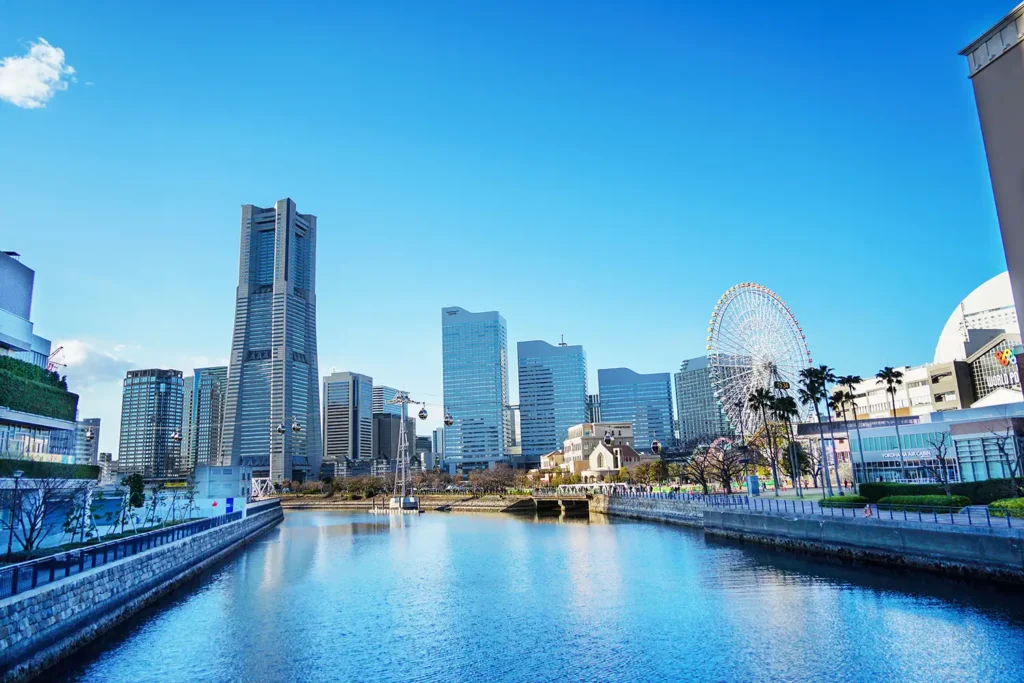
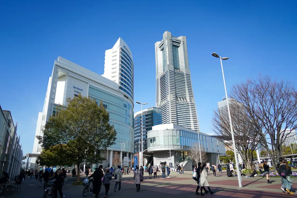
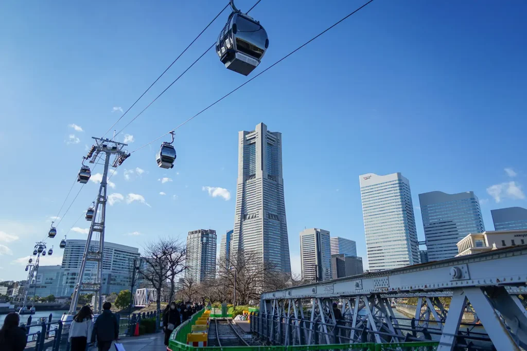
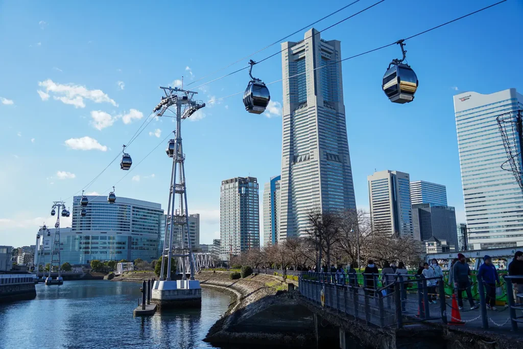
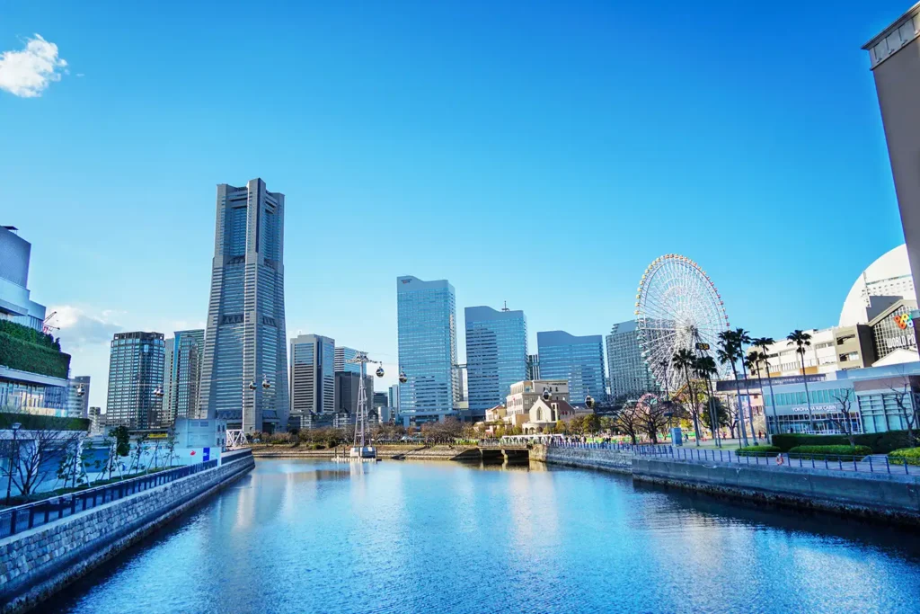
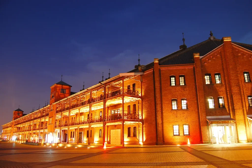
Photos in this section are other people's work, pulled from these blogs for reference: A Minato Mirai photo-spot guide, a photographers' spot community entry, and two Minato Mirai snap blogs.
Kishine-dori, the old railway promenade
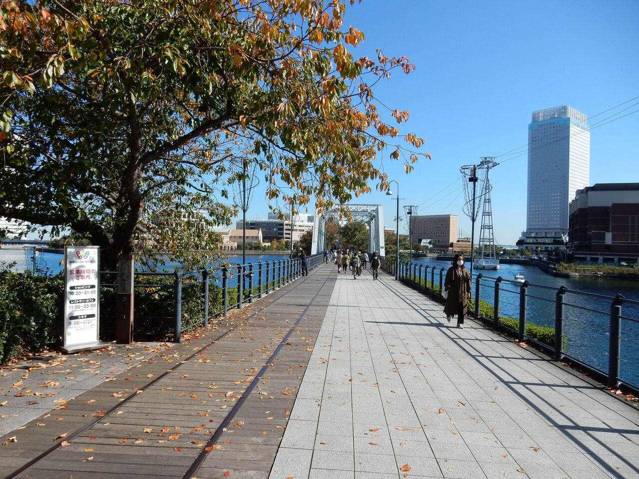
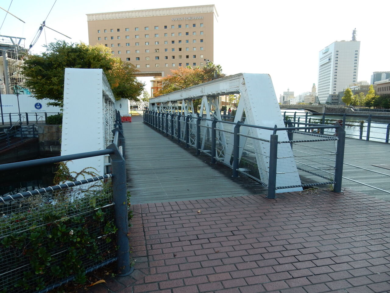
A 1911 railway that linked the old Yokohama Station, now Sakuragicho, to the Shinko pier. Today it is a boardwalk with the rails surviving in the decking, crossing three bridges with the skyline behind. A local photo blog notes that most people walk straight past the frame you can get here, combining the rails with the ropeway overhead. Free and open around the clock.
Where to stand
The rails and the ropeway want to be in the same frame, and the bridges give you the water underneath. It is a short stretch, so it rewards patience rather than distance.
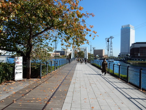

Photos in this section are other people's work, pulled from these blogs for reference: A Kishine-dori and Yamashita Rinko Line history blog.
Osanbashi pier
The international passenger terminal with a walkable roof deck. One photo blog gets the appeal exactly right: it is not really a hidden spot, but it is enough of a walk from the centre that the crowd drops off instantly, so it behaves like one. Nothing blocks the view, and it is the only place in the city where you get all of Yokohama in one sweep. Free, and always open. Tripods have restrictions and it is popular with wedding shoots, so expect to work around people at the classic angles.
The deck
The undulating timber deck, the skyline across the water, and moored ships alongside.
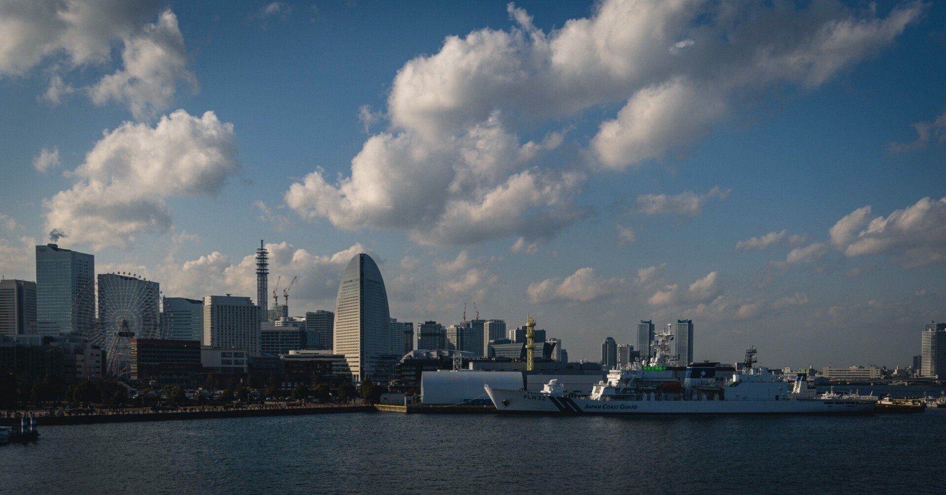
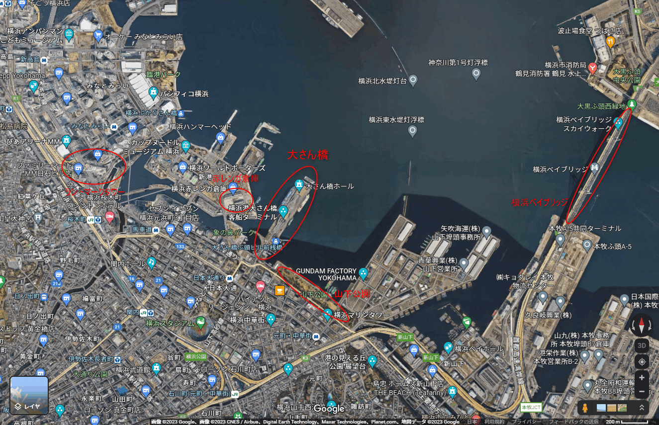
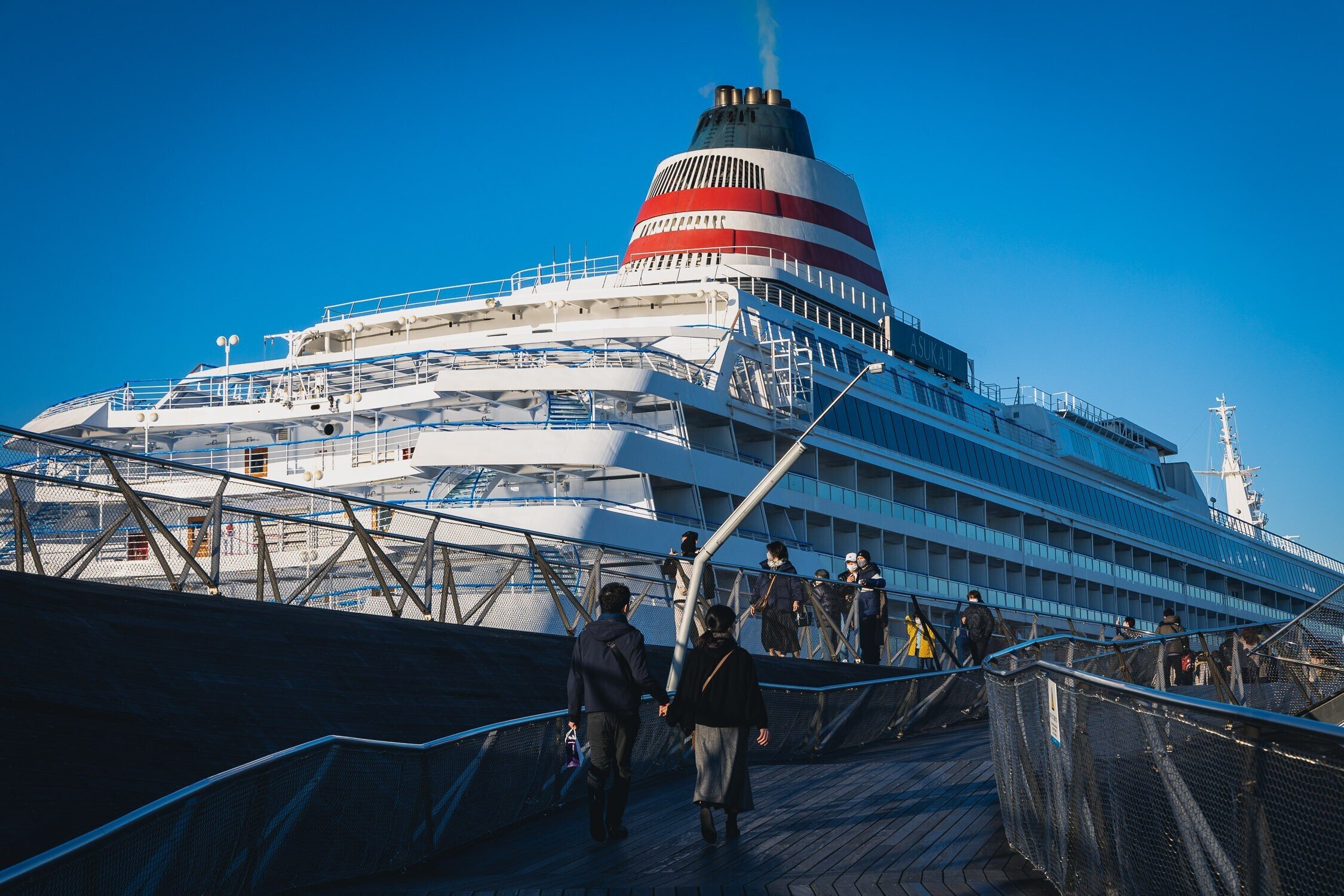
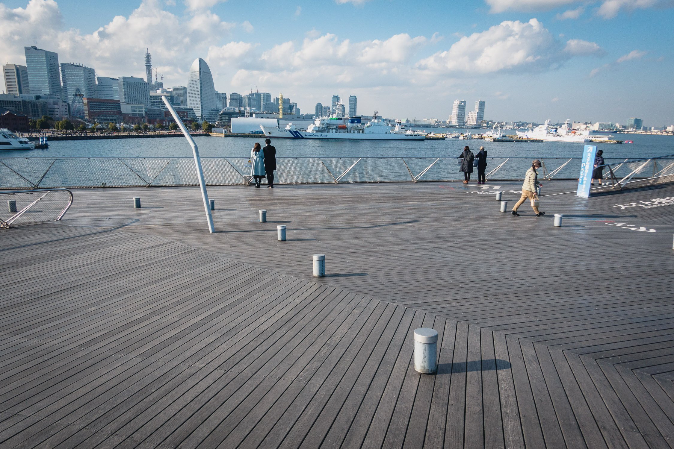
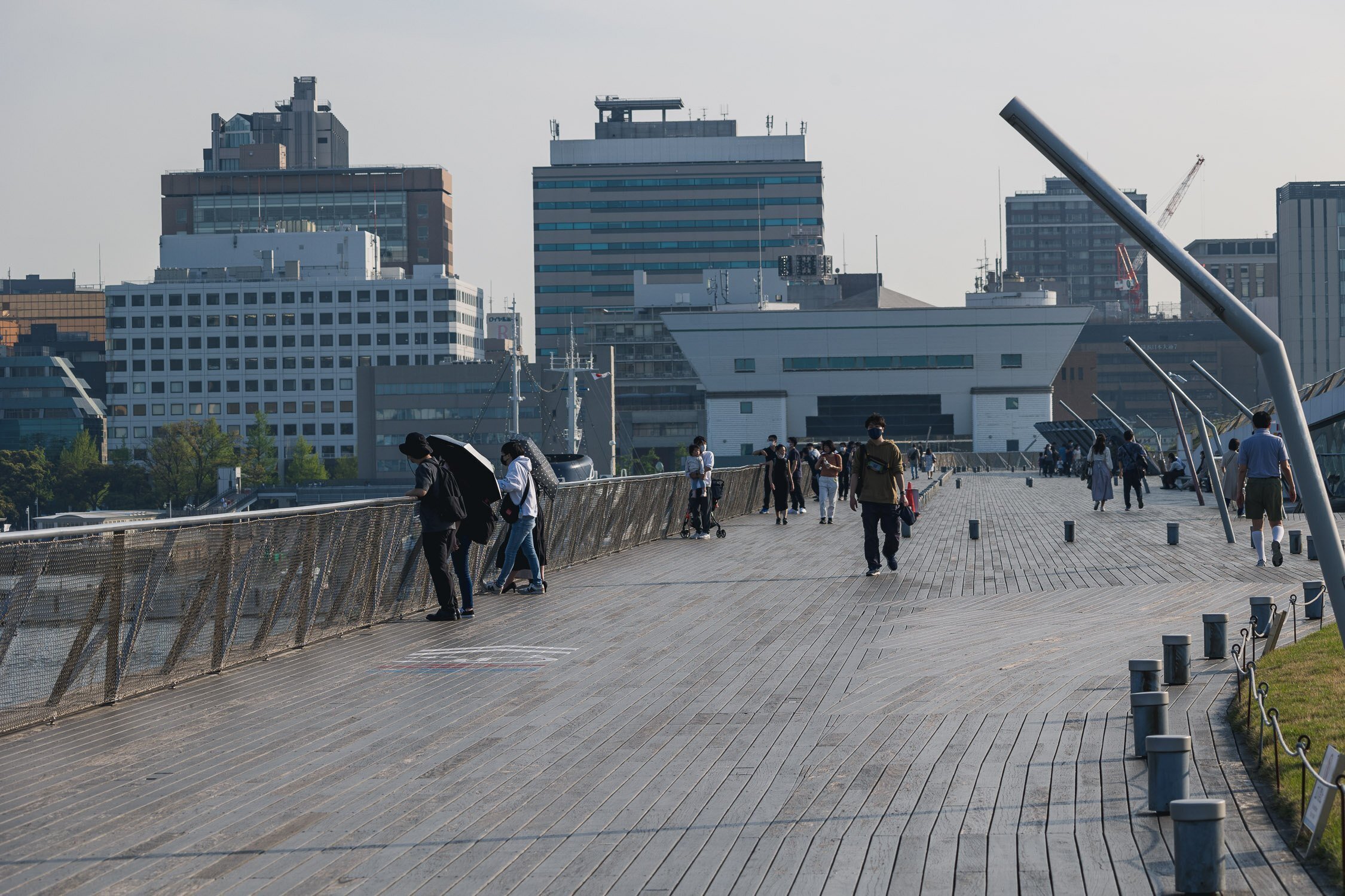
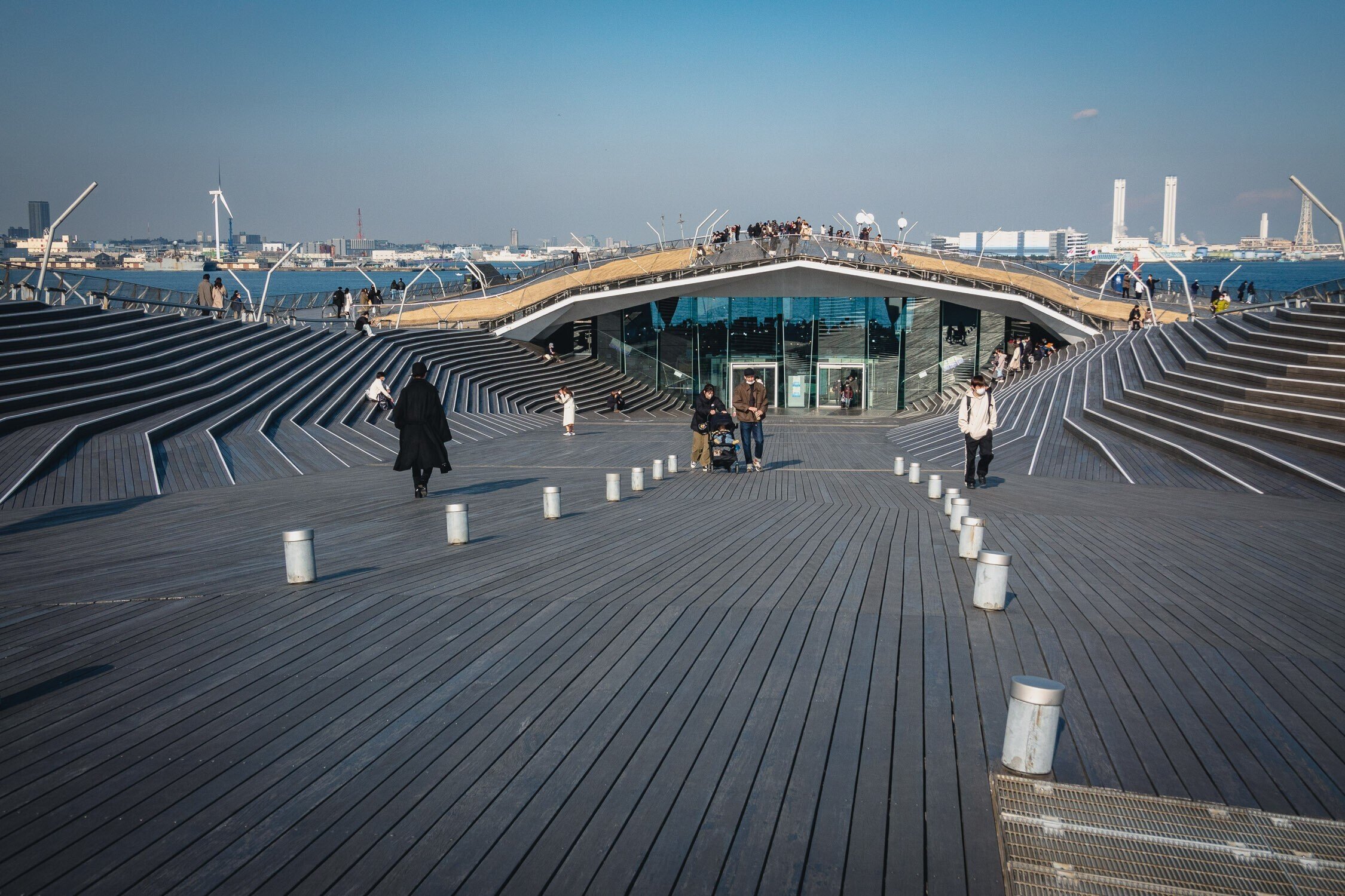
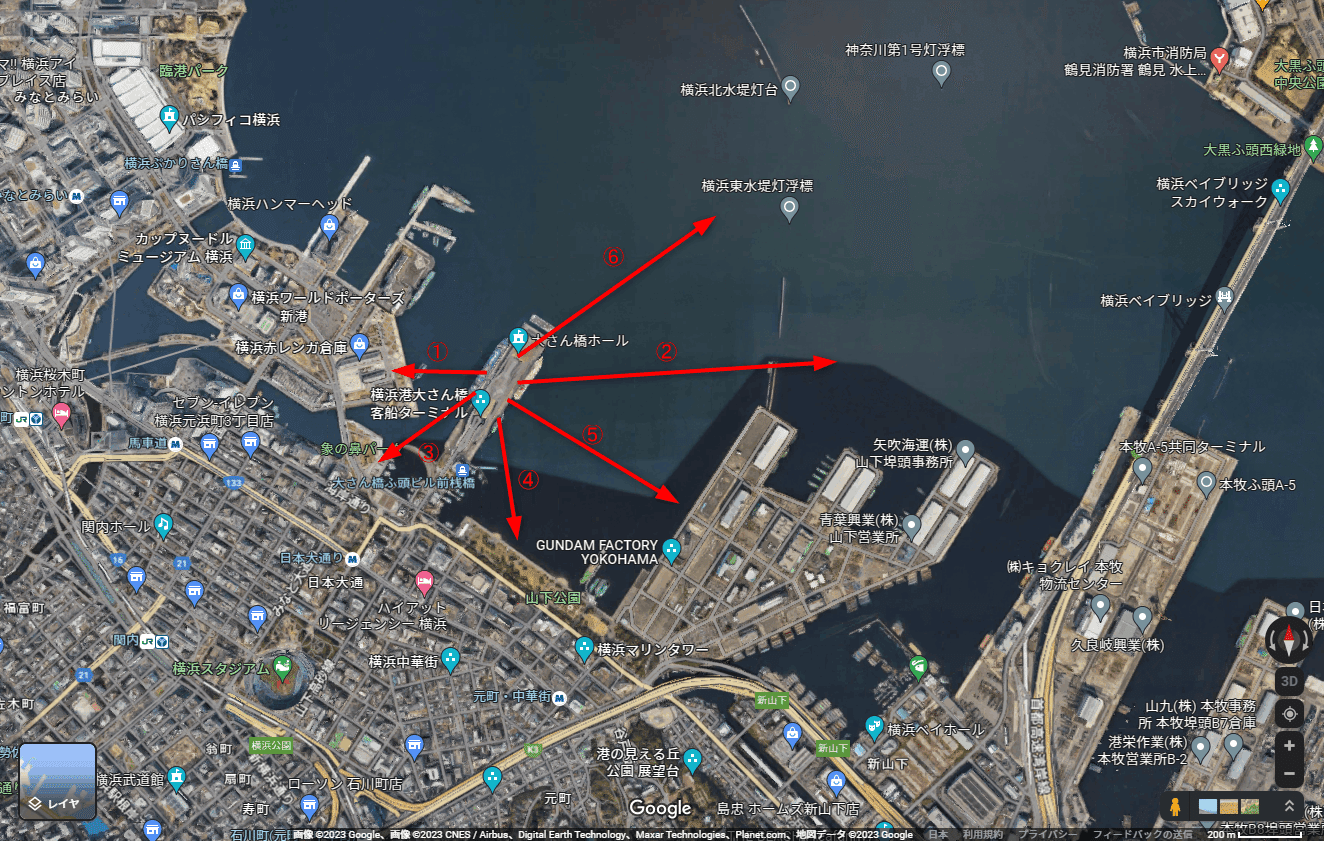
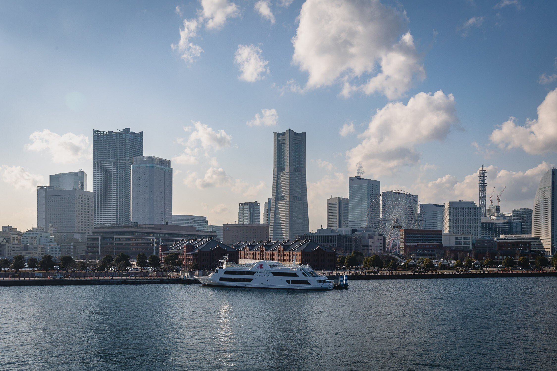
Photos in this section are other people's work, pulled from these blogs for reference: Two note.com photographers and a Yokohama harbour-watching blog.
Yamashita Rinko Line Promenade
A disused elevated freight line, opened as a walkway in 2002, linking the Shinko district to Yamashita Park. It literally flies over Zono-no-hana Park. Honest catch, from a night-photography blog that shoots it: the view is better than Zono-no-hana's because the walkway is elevated, but it is also the main connecting path between Yamashita Park and Red Brick, so foot traffic is heavy and it is a poor place to settle in and shoot carefully. Notably few serious photographers work there. The single best view on the structure is the section crossing above Zono-no-hana Park.
Zono-no-hana Park
The small harbour-mouth park beneath the promenade, and the reason to be on the elevated section rather than under it.
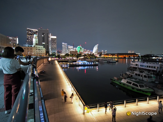

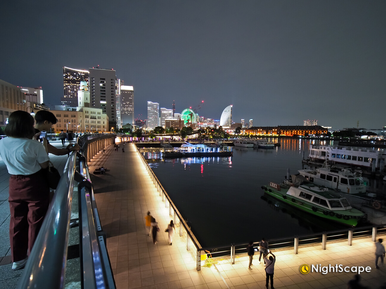
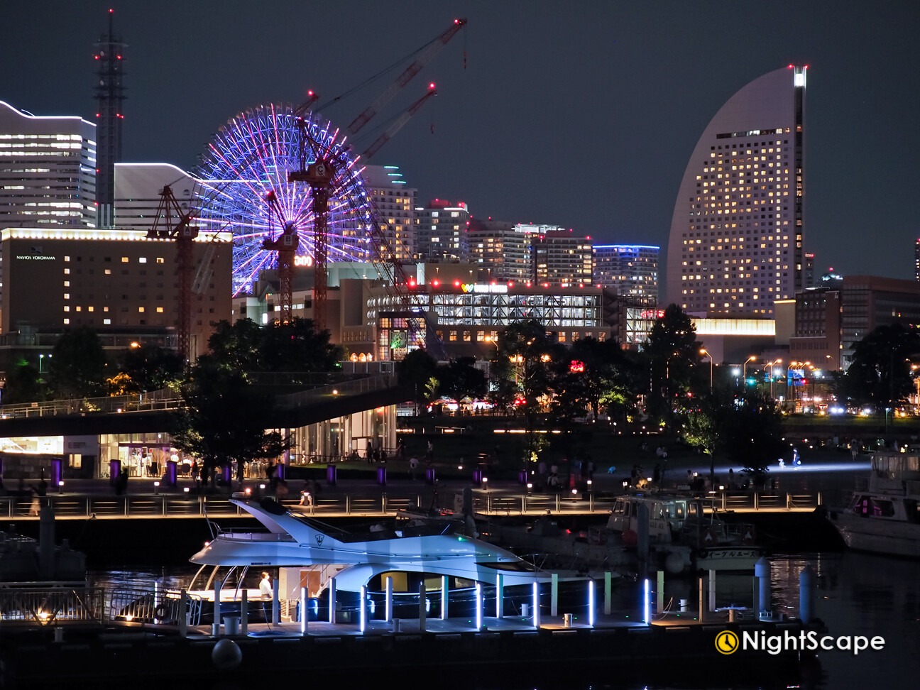
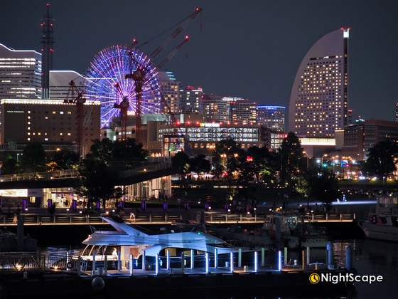
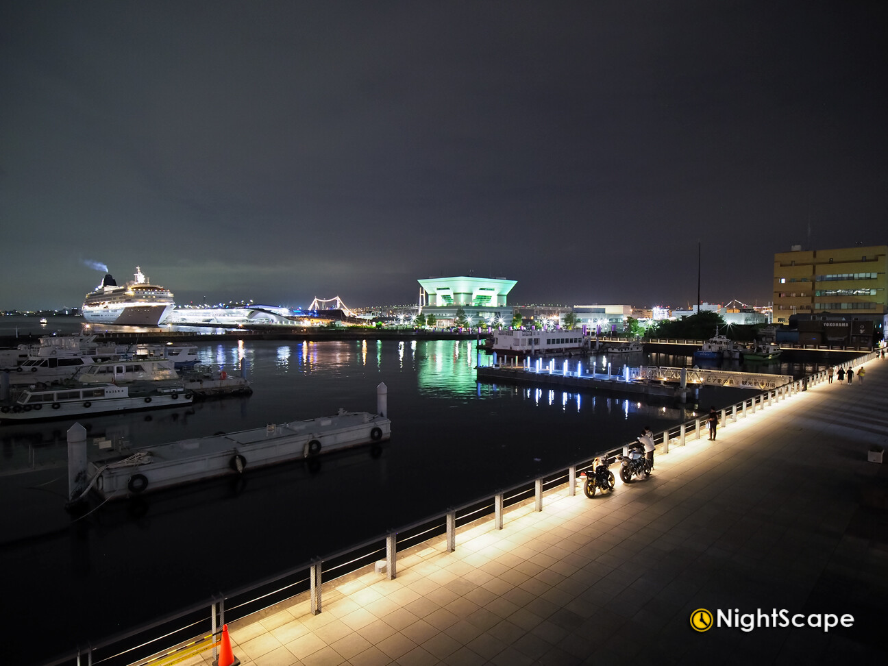
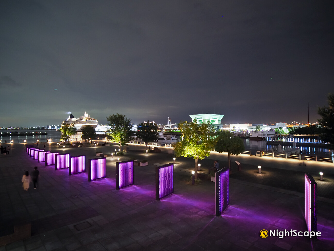
Photos in this section are other people's work, pulled from these blogs for reference: A night-photography blog and a port-history blog.
Chinatown
A dense grid of narrow lanes north of Yamashita Park. Every photo guide I read agrees on one thing: the subject is the backstreets, not the main avenue. The lanes carry rows of red and yellow lanterns that are more photogenic than you would expect, and several photographers say the best conditions are night and rain, when the neon and lanterns reflect off wet pavement. One writer who lives locally says flatly that the back alleys are more fun than the main street. The catch is that the lanes are genuinely narrow, and one guide specifically warns to time your shots so you are not blocking people, which matters on a sunny Sunday.
Start point
Motomachi-Chukagai station, then work inward rather than following the crowd down the main avenue.
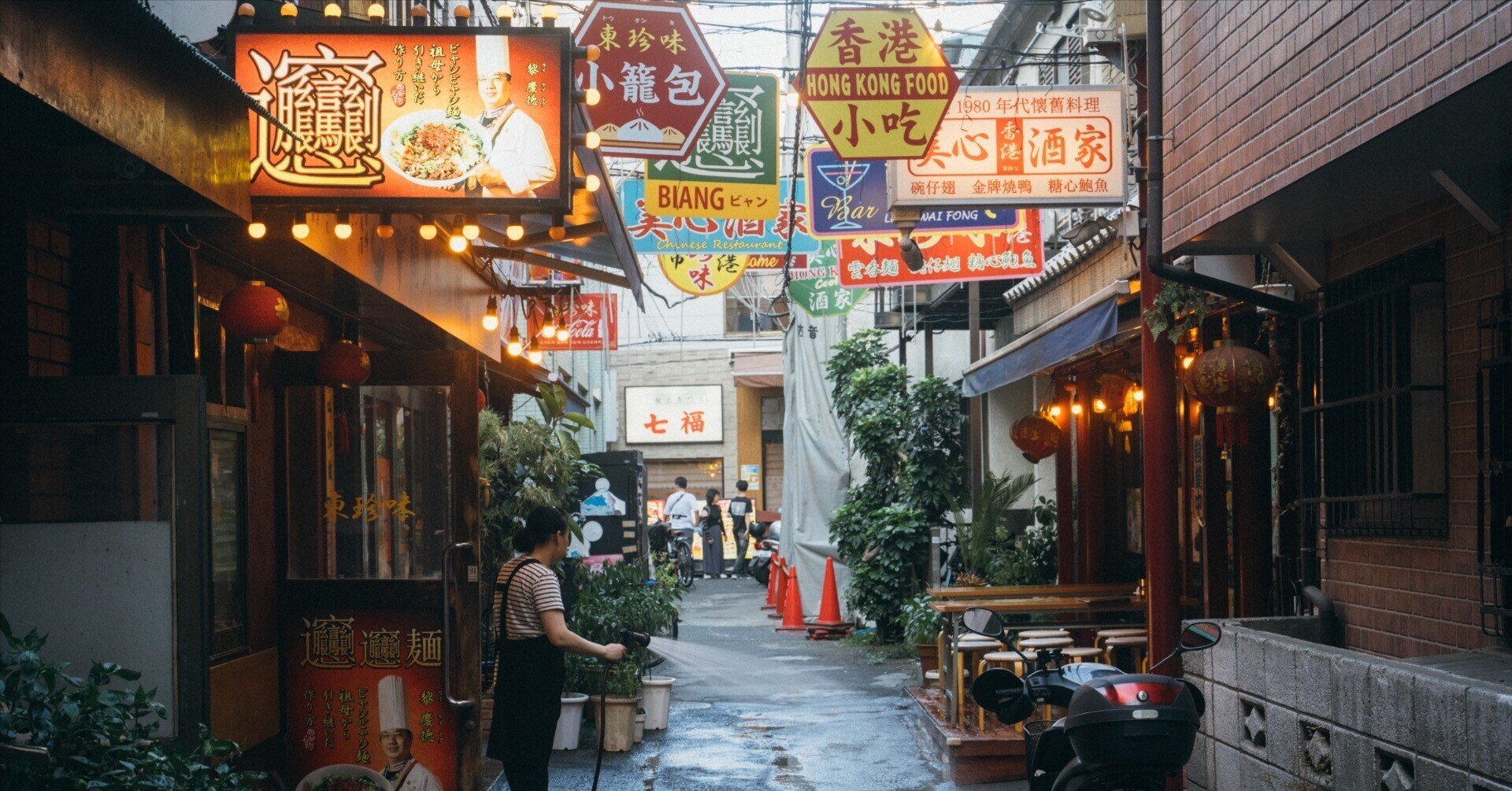
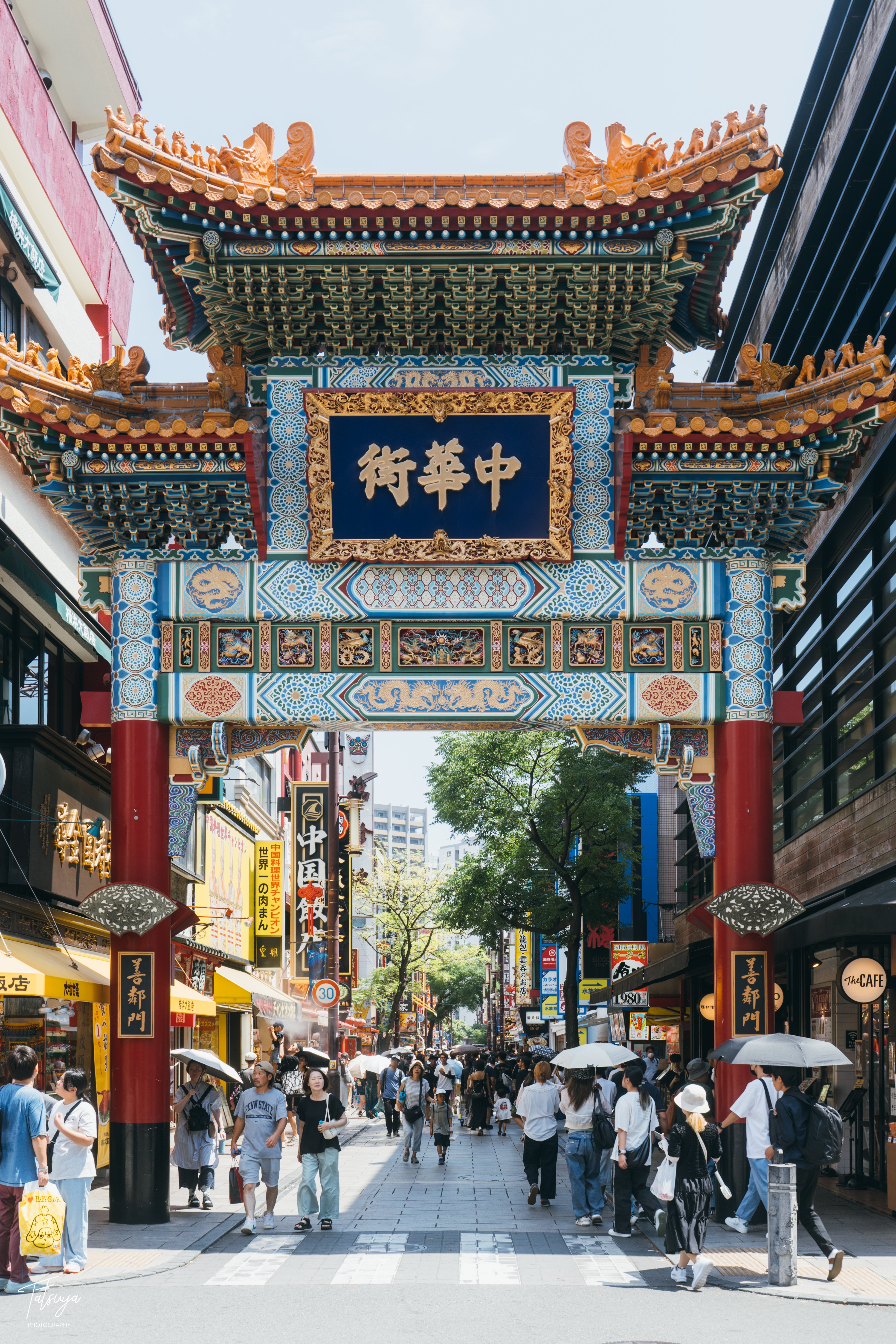
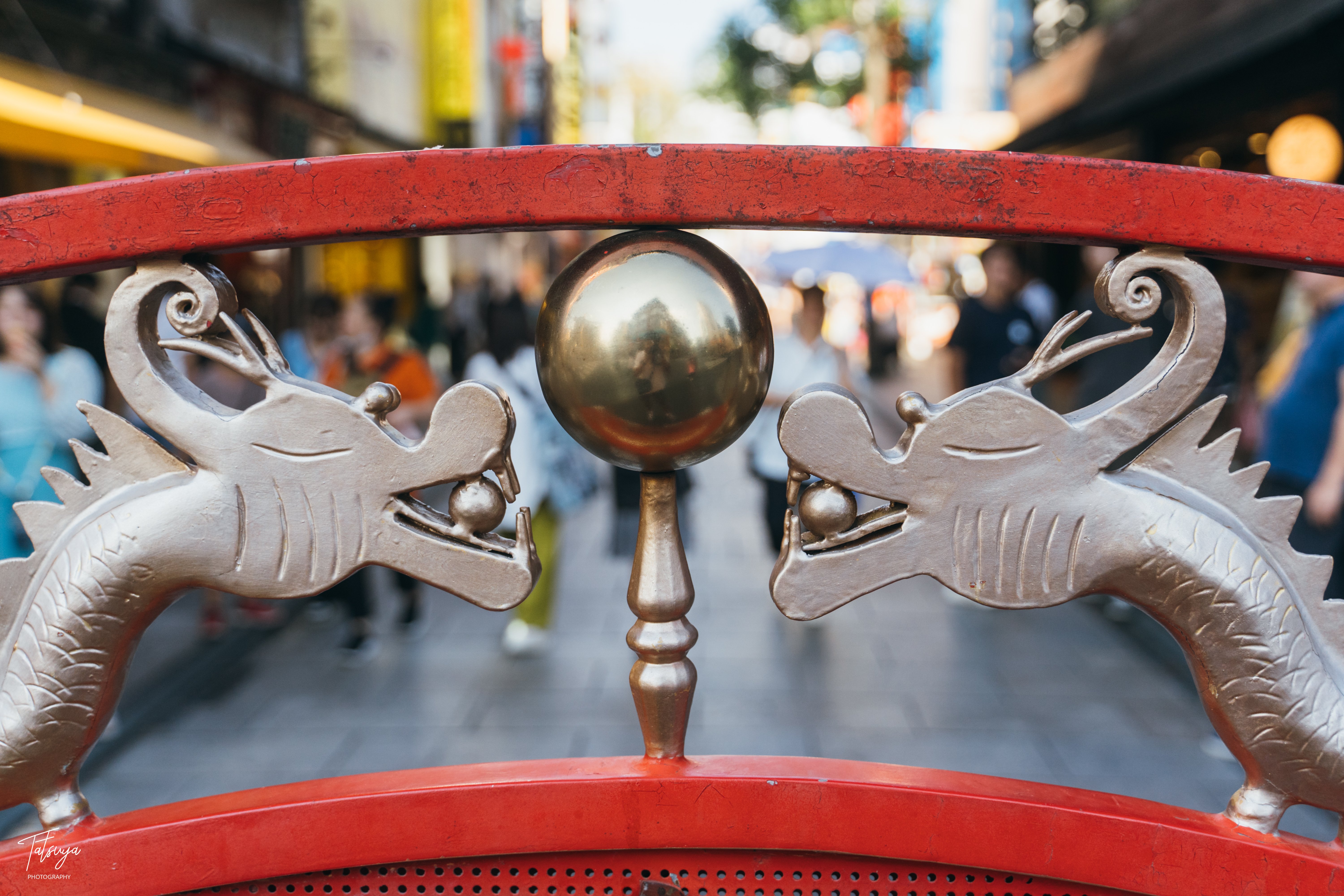
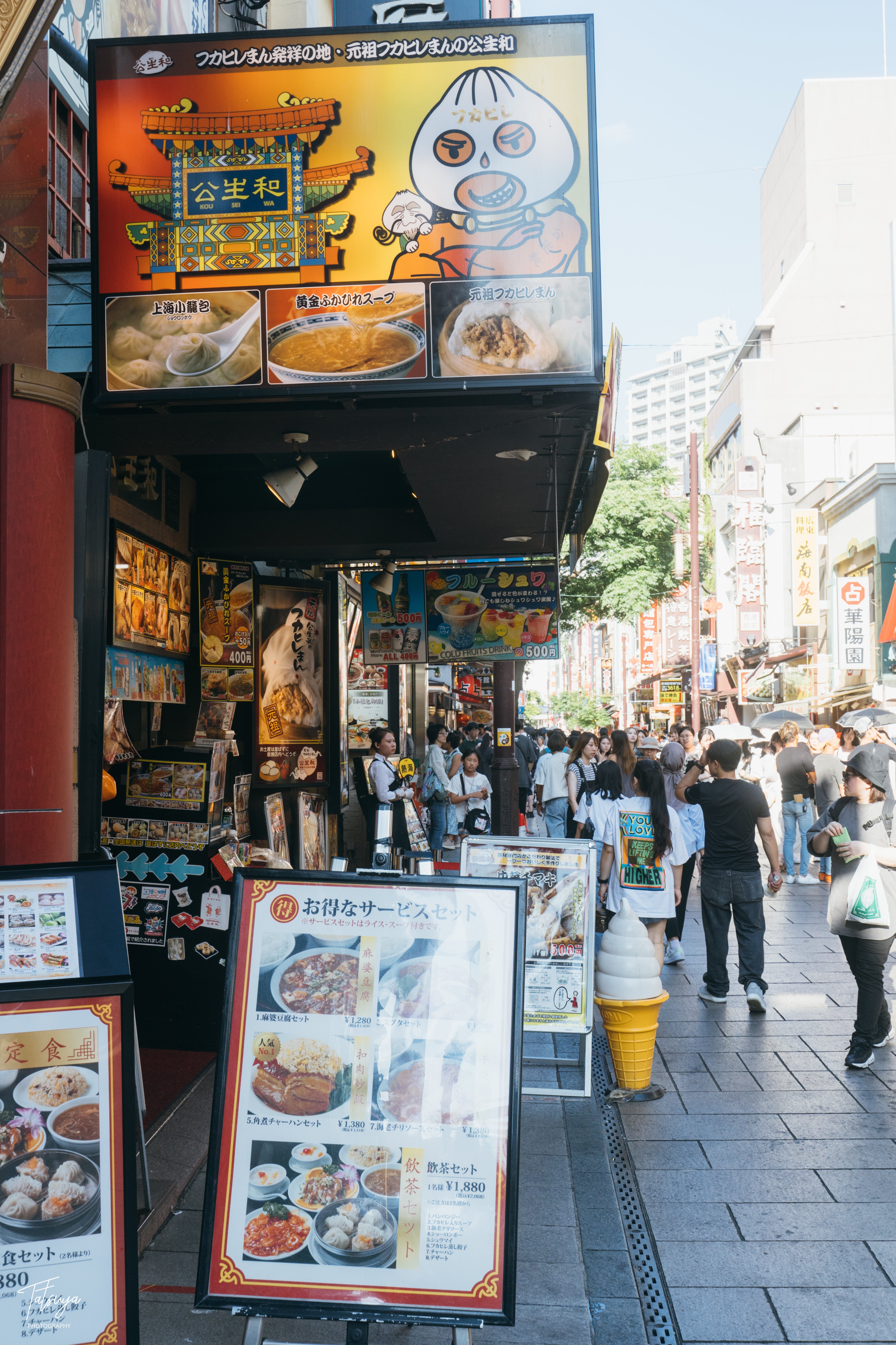
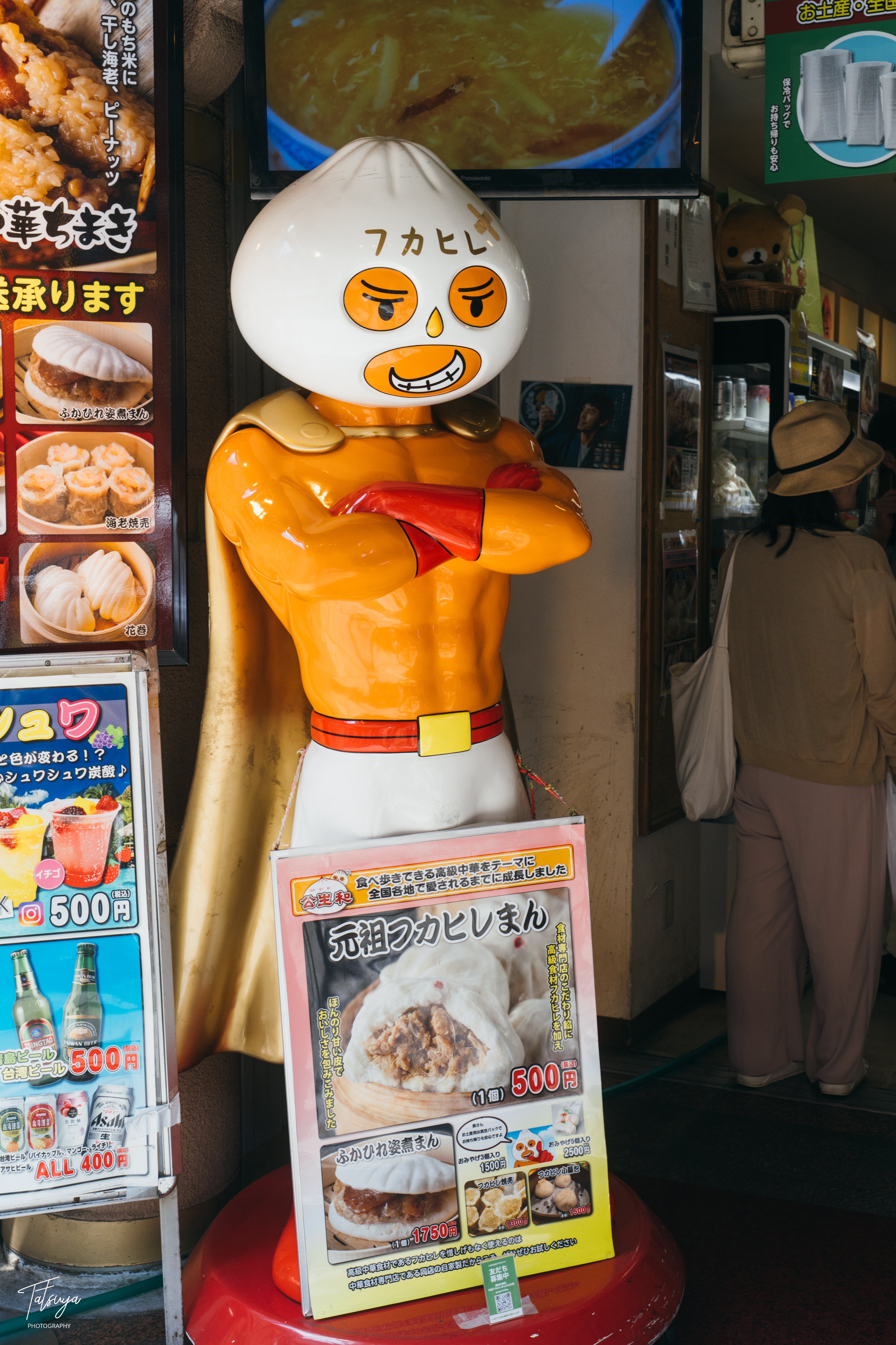
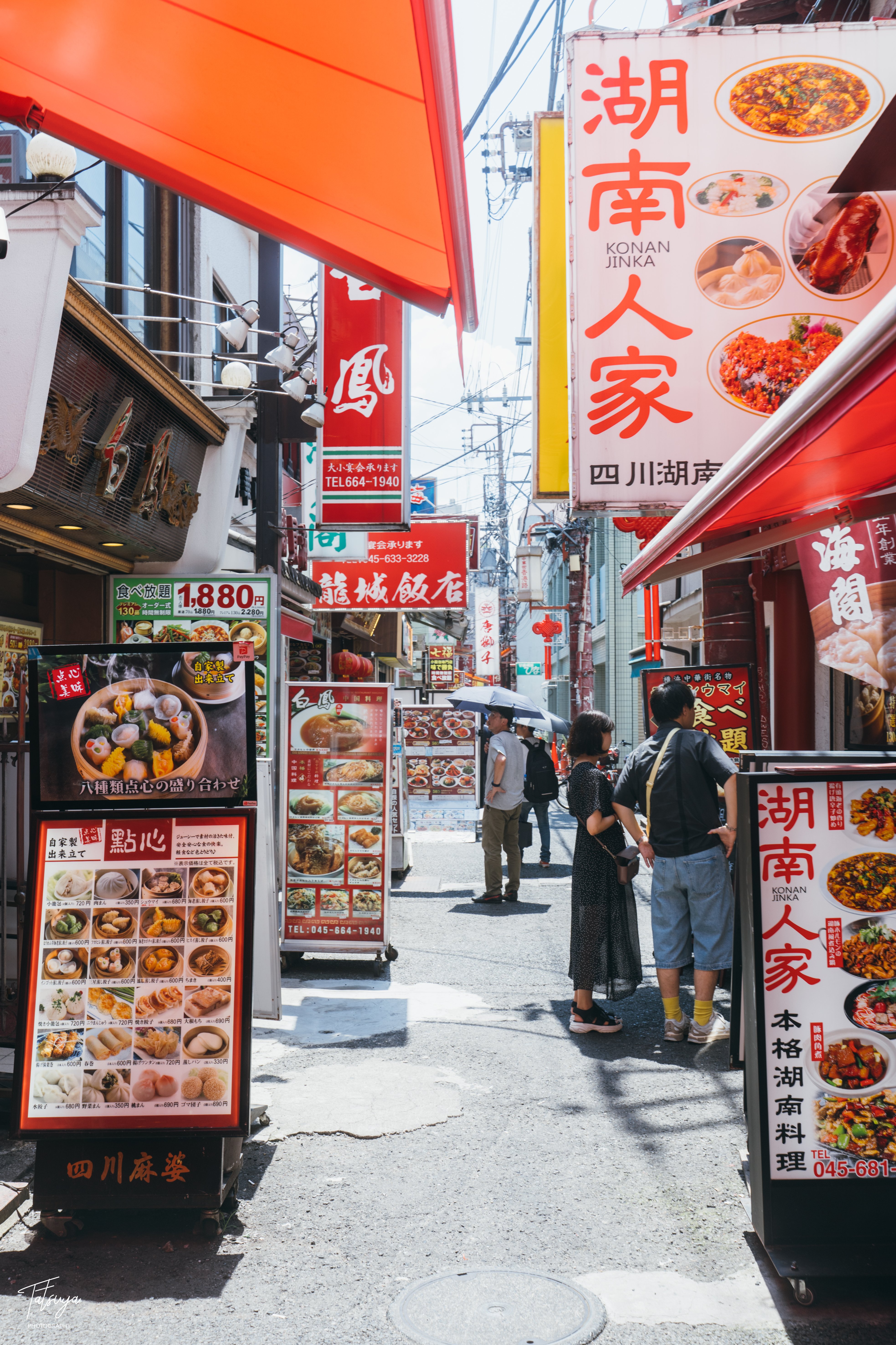
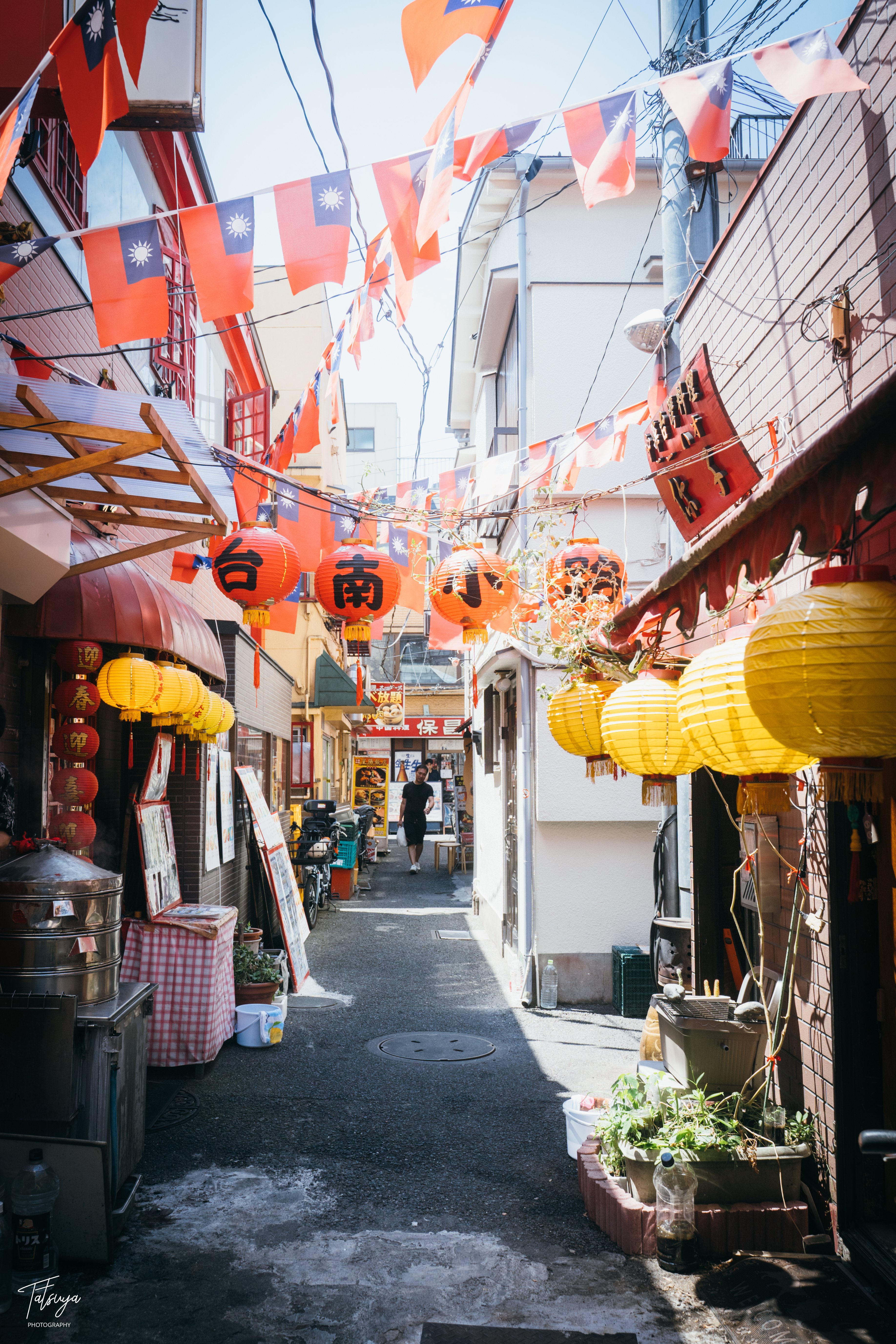
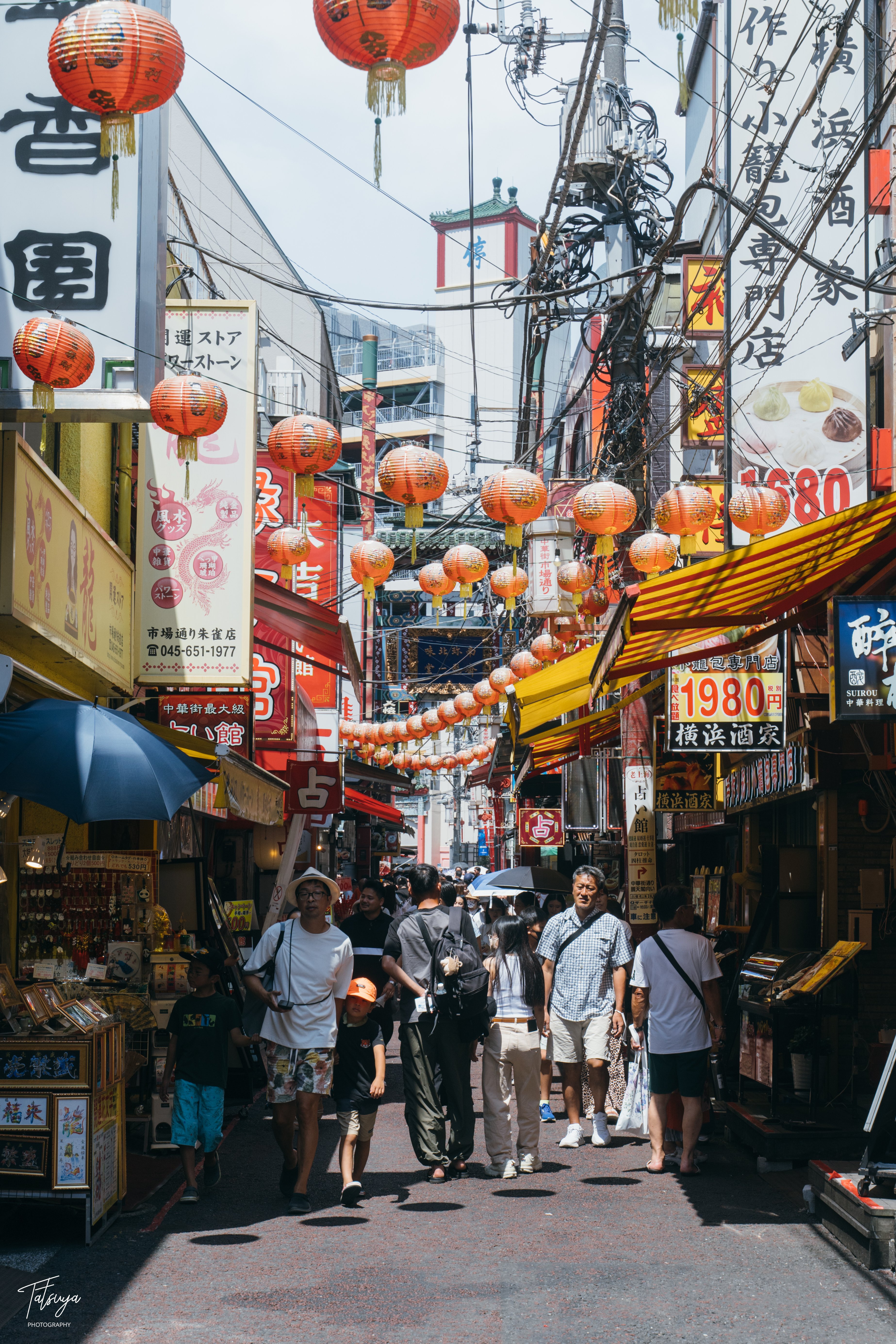
Photos in this section are other people's work, pulled from these blogs for reference: A note.com street-snap photographer, a night-snap photographer, and a local photo diary.
Yamate and Motomachi
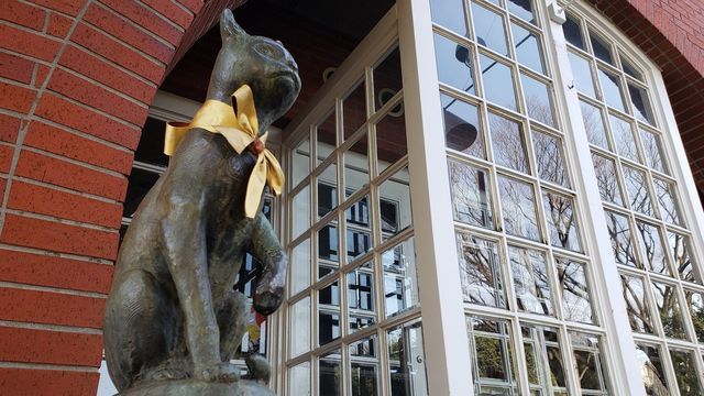
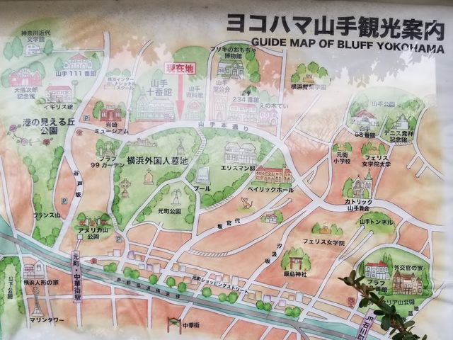
The hill above the bay: seven western houses, all free, and all open 9:30 to 17:00. Through October they carry Halloween decorations with a photo spot set up inside each house. Reviews of past years say the decoration effort varies a lot by house, and that the one people single out is the same each time. One visitor warns that house-hopping comes with slopes, so it needs strong legs. There is no parking anywhere on the hill. Motomachi's shopping street is at the bottom, and the quieter backstreets behind it are where the street photography is.
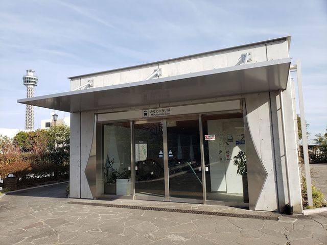
Minato-no-Mieru-Oka Park
The lookout park at the top of the hill, and the end point of the marked bay route.
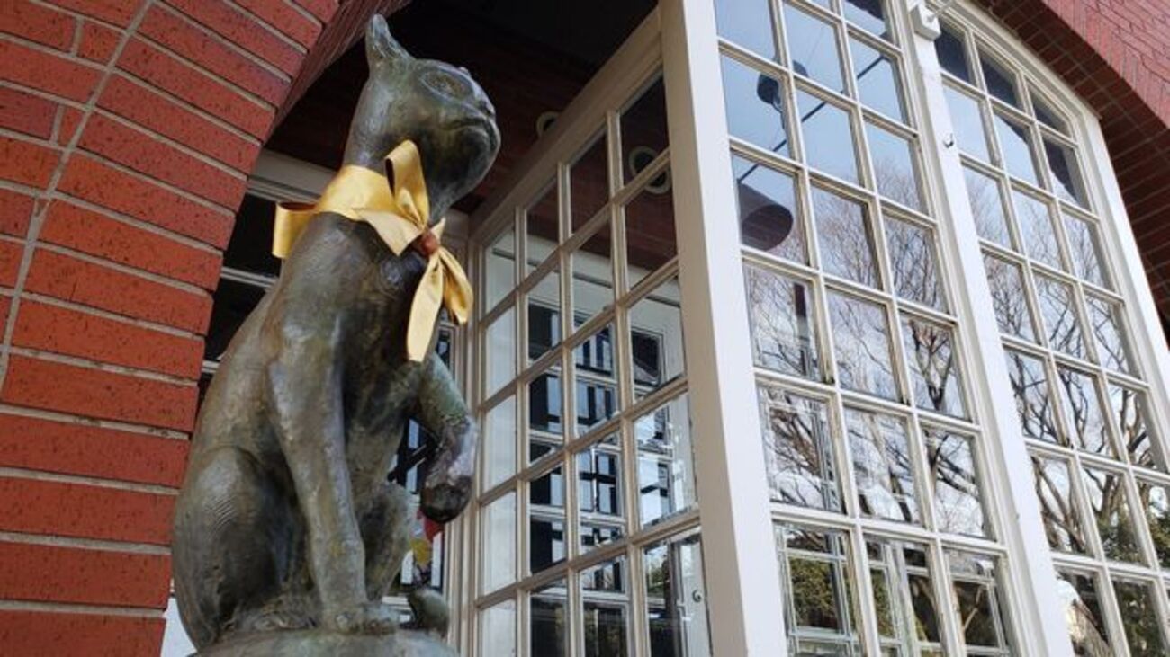
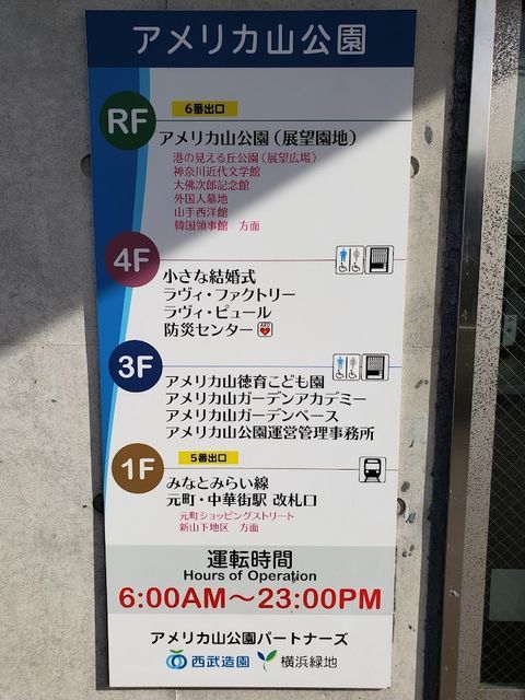
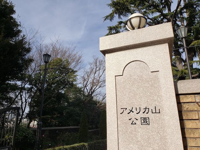
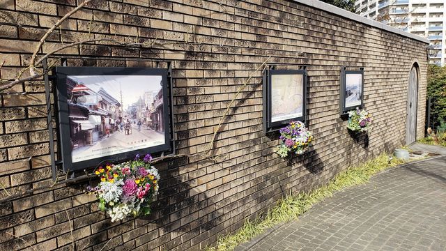
Photos in this section are other people's work, pulled from these blogs for reference: Two Yokohama walking blogs, a note.com photographer, and a Motomachi history blog.
Nihon-odori and the Kannai core
The colonial core of the city, and the least crowded part of the bay at midday.
The Three Towers
King's Tower at the prefectural government, Queen's Tower at Customs, and Jack's Tower at the Port Opening Memorial Hall, on a zelkova-lined avenue. Getting all three in one view is the classic frame.
The old Specie Bank building
On the same axis, now the prefectural museum of history.
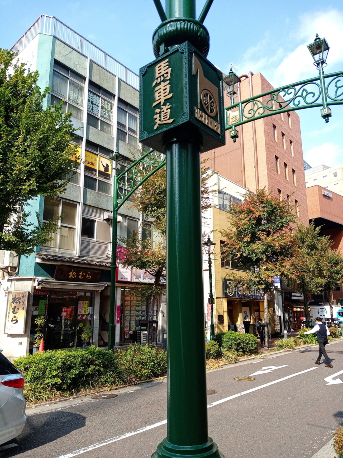
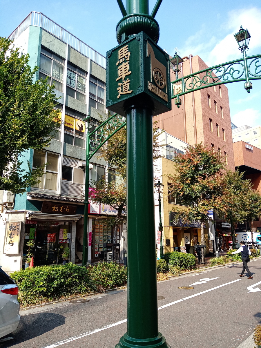
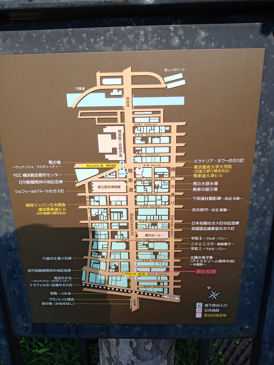
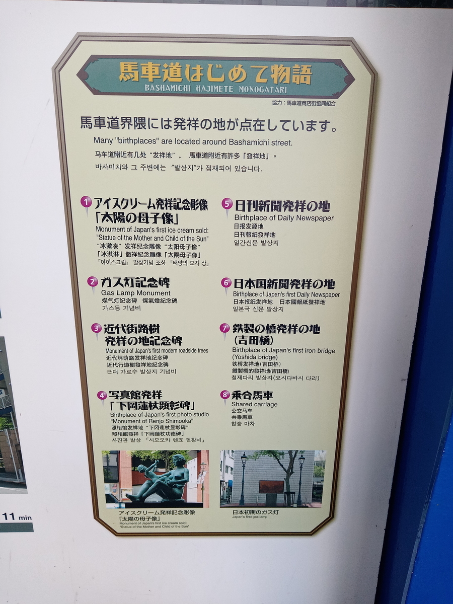
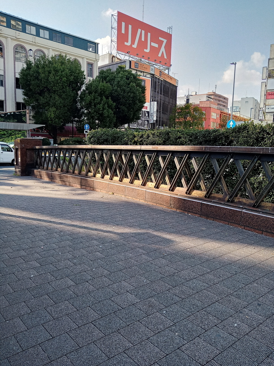
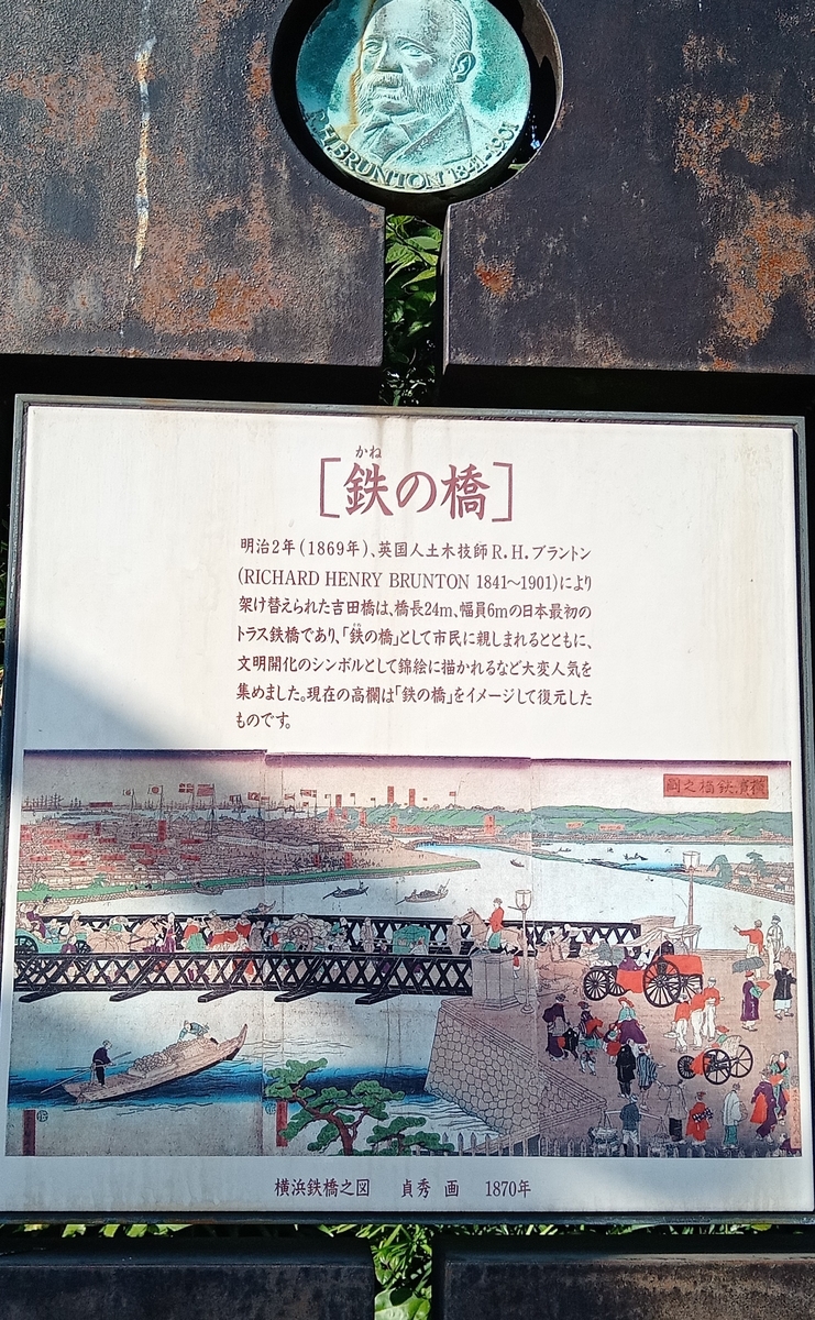
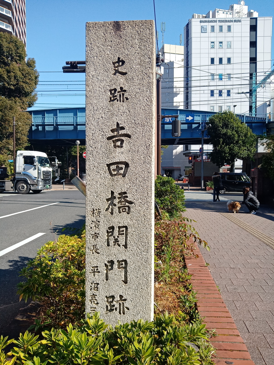
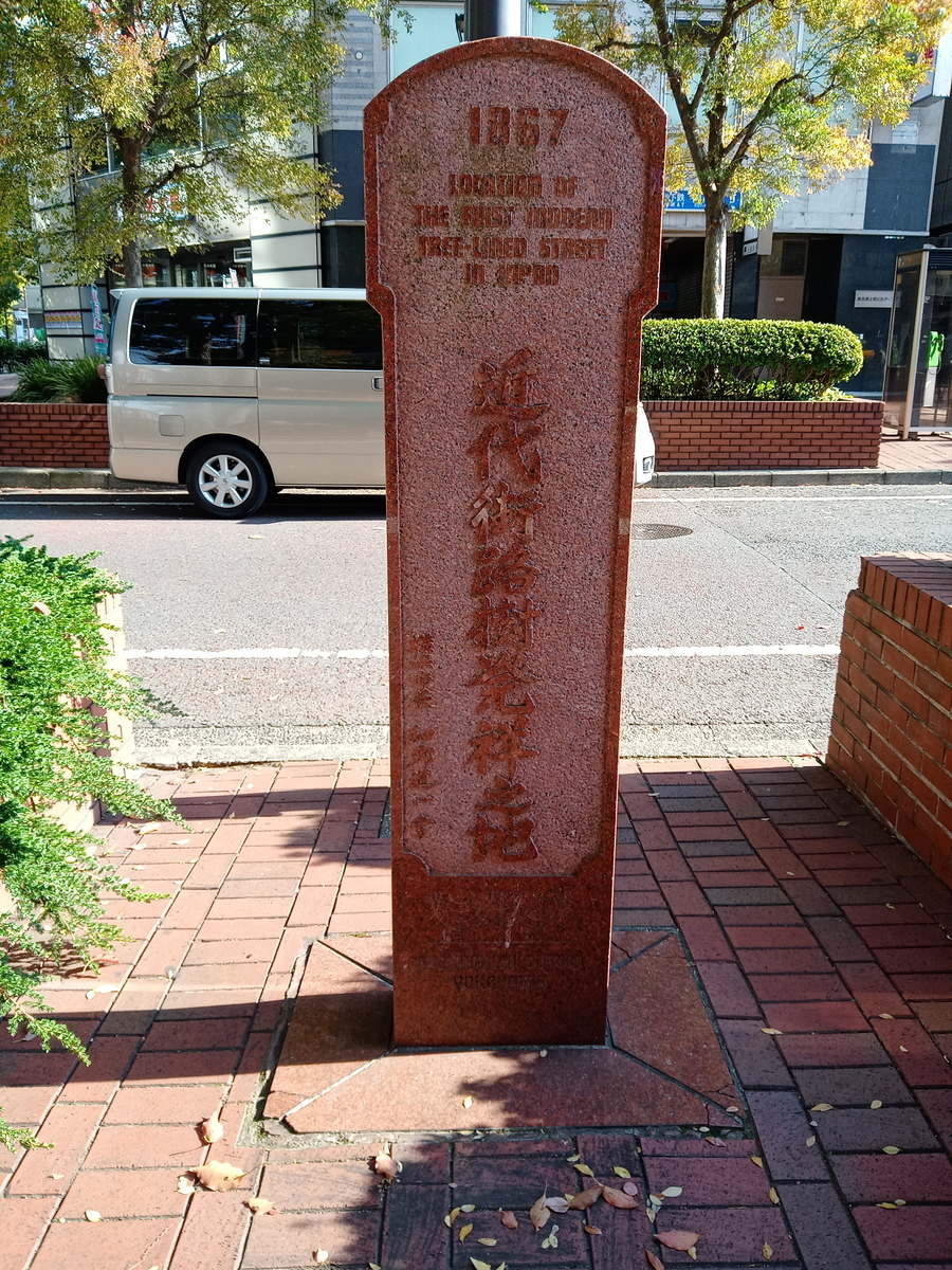
Photos in this section are other people's work, pulled from these blogs for reference: A Bashamichi history blog, a walking blogger, and a Kanto walk diary.
Bashamichi
About 149 real gas lamps run roughly 4 km from Bashamichi-dori to Yamashita-koen-dori, all genuinely gas-lit on automatic timers, with the first-gas-lamp monument outside Kannai Hall. The best description I found is from a walking blogger: it is less a street than a bridge. You cross the bridge in the middle of the buildings, and just there an empty vista opens up, with both sides packed tight with tenement blocks. That gap between the buildings is the shot. The subway station itself is worth one frame as well, with real hand-laid brick and reliefs of the buildings that once stood above it.
How to shoot it
Walk the length rather than stopping at the first gas lamp; the monument outside Kannai Hall is the anchor, and the bridge crossings are the payoff.
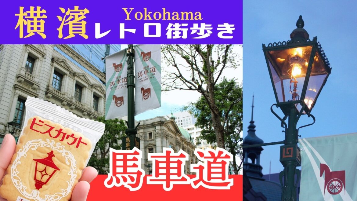



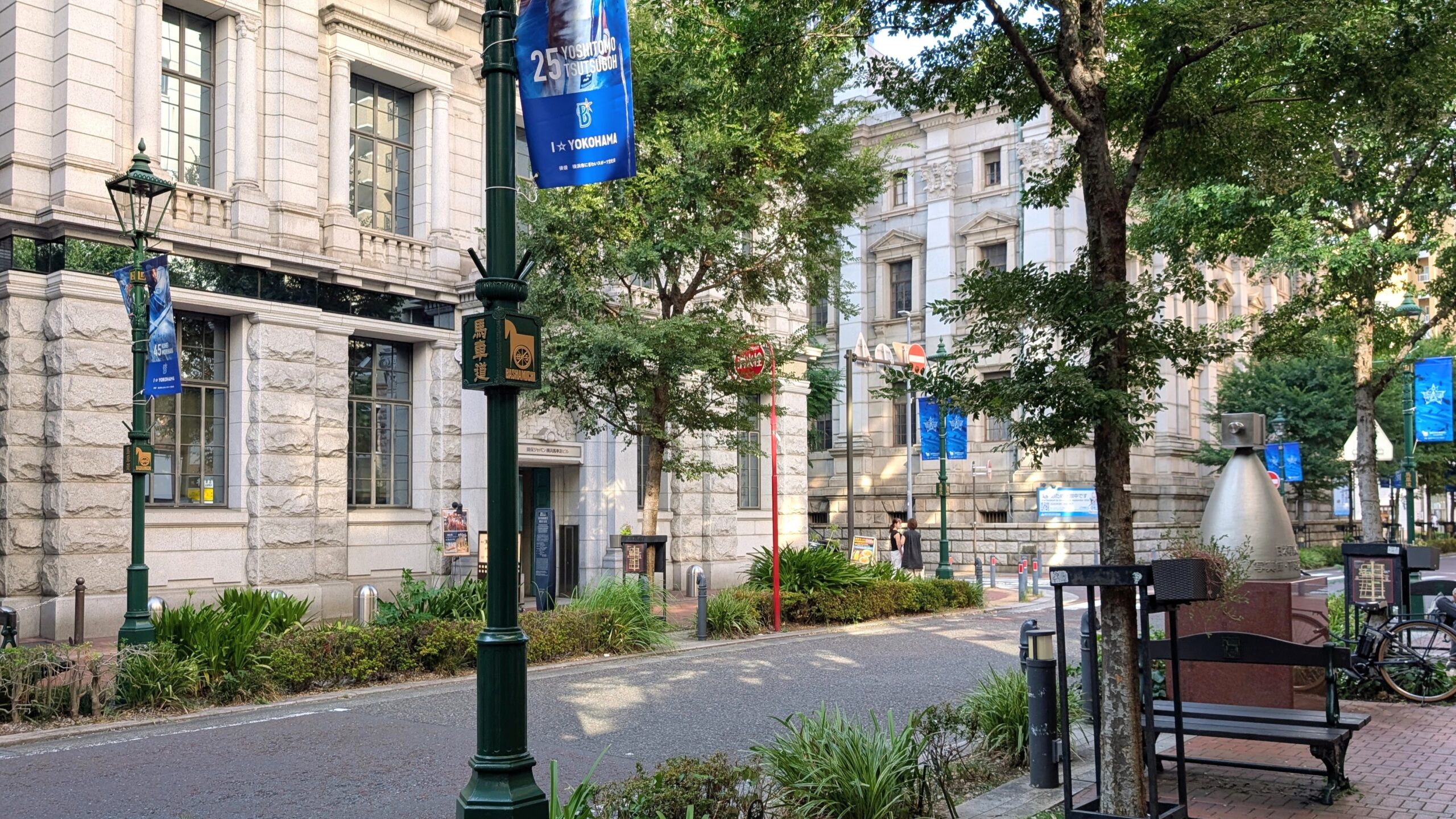

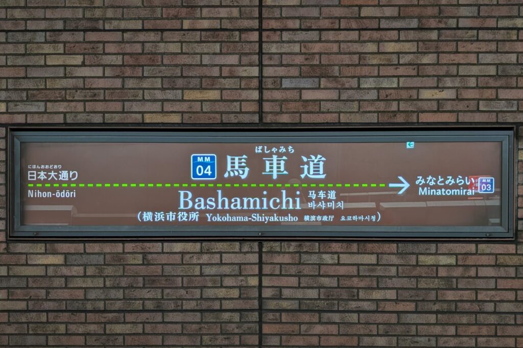
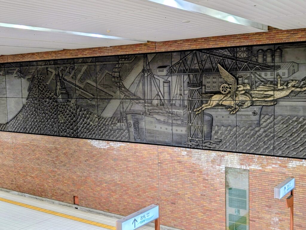
Photos in this section are other people's work, pulled from these blogs for reference: A Bashamichi walking blogger, a Yokohama history blog, and a Machiaruki guide.
Isezaki Mall and the market street
The old downtown south of Kannai, covered arcades and a market street that is nostalgic but genuinely multinational, with Korean, Vietnamese and Chinese groceries and traces of the old licensed quarter still in place.
Isezaki Mall
The covered arcade, retro signage, Showa frontage, with a linear park running alongside.
Yokohama Bridge shopping street
About 130 shops, listed trading hours 11:00 to 19:00, so late morning onward. Worth knowing it is roughly 2 km each way from Sakuragicho, which is a long leg for a short visit; ride rather than walk if you are tight on time.
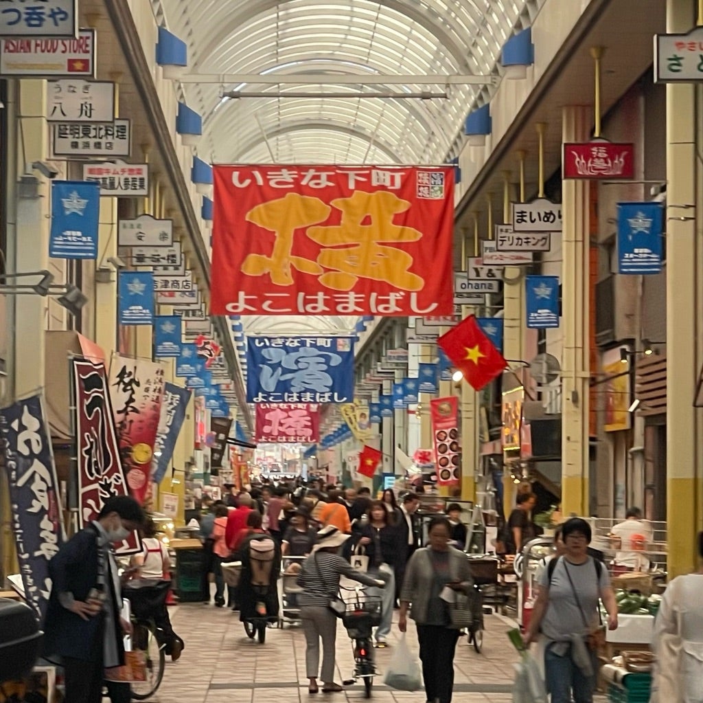
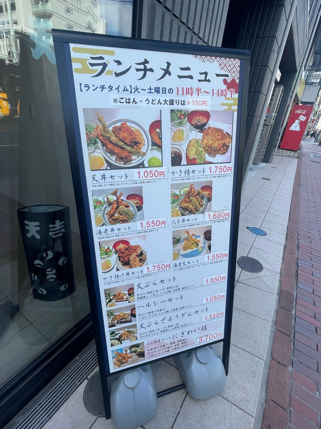
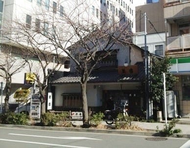
Photos in this section are other people's work, pulled from these blogs for reference: Four first-hand walking blogs covering the Isezaki and Yokohama-bashi streets.
Noge and the Dobashi building
The drinking district between Sakuragicho and Hinodecho. Best after dark. Noge Dobashi Shotengai, known as Harmonica Yokocho, is a 1964 two-storey building about 90 m long that curves with the Okawa river: around 60 narrow shops, a second-floor walkway overhanging the water, and roughly 30 oddly numbered post boxes on the ground floor. It is a TV and film location and photographers clearly love it. But be clear-eyed about the scale: at 90 m it is a 15-minute stop, not the anchor of a walk, and almost nothing is open in the daytime.
Where to stand
The curve of the building reads best from the bridge and from the opposite bank, so work the river edge rather than only the street.
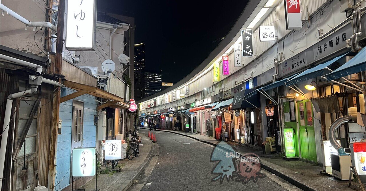
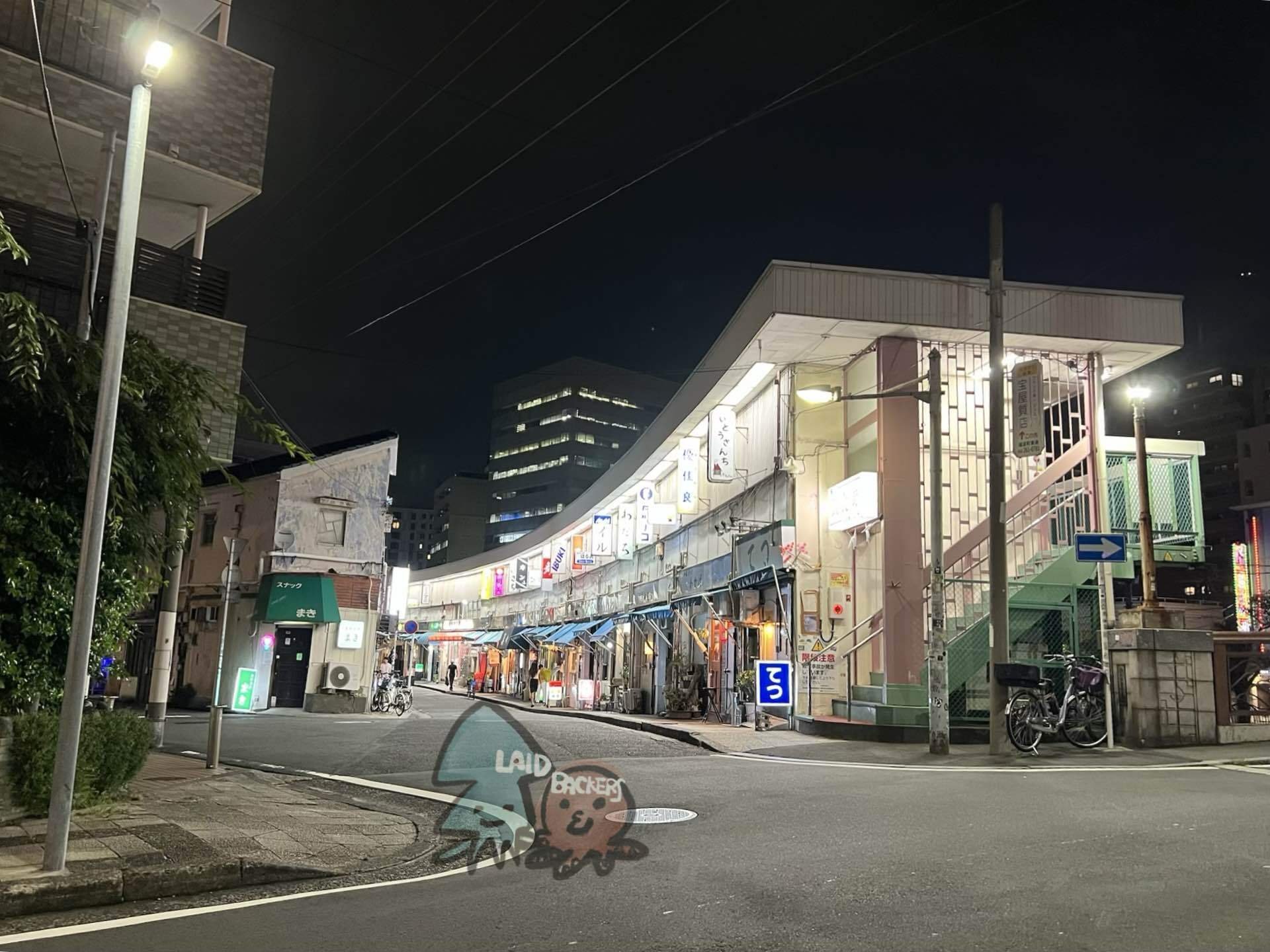
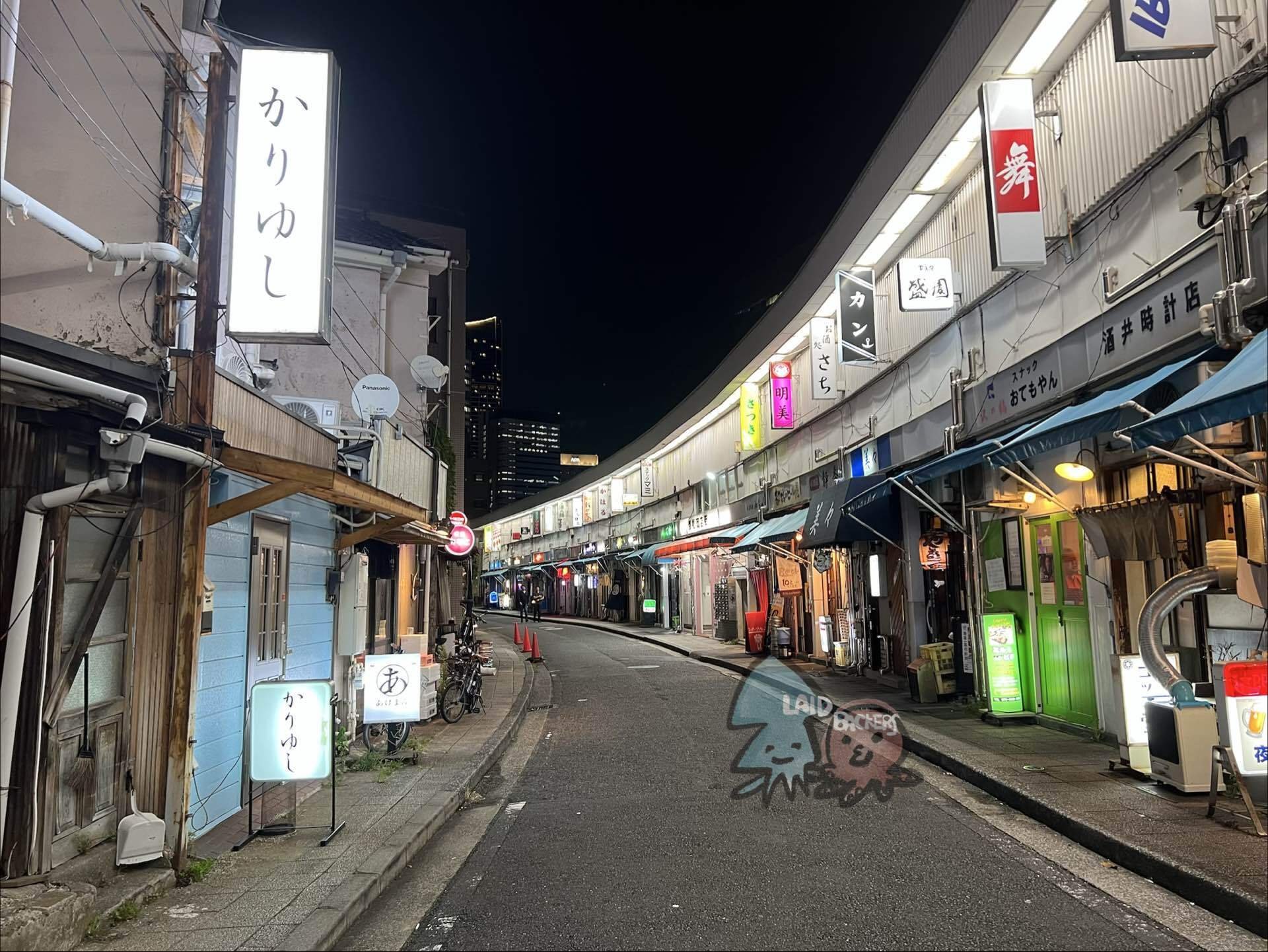
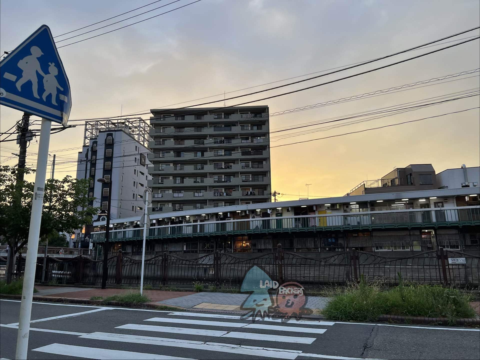
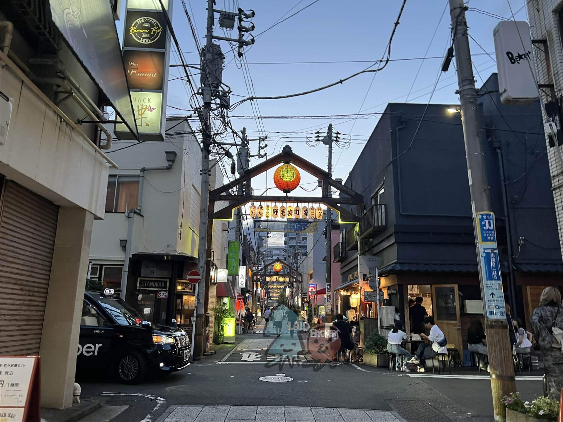
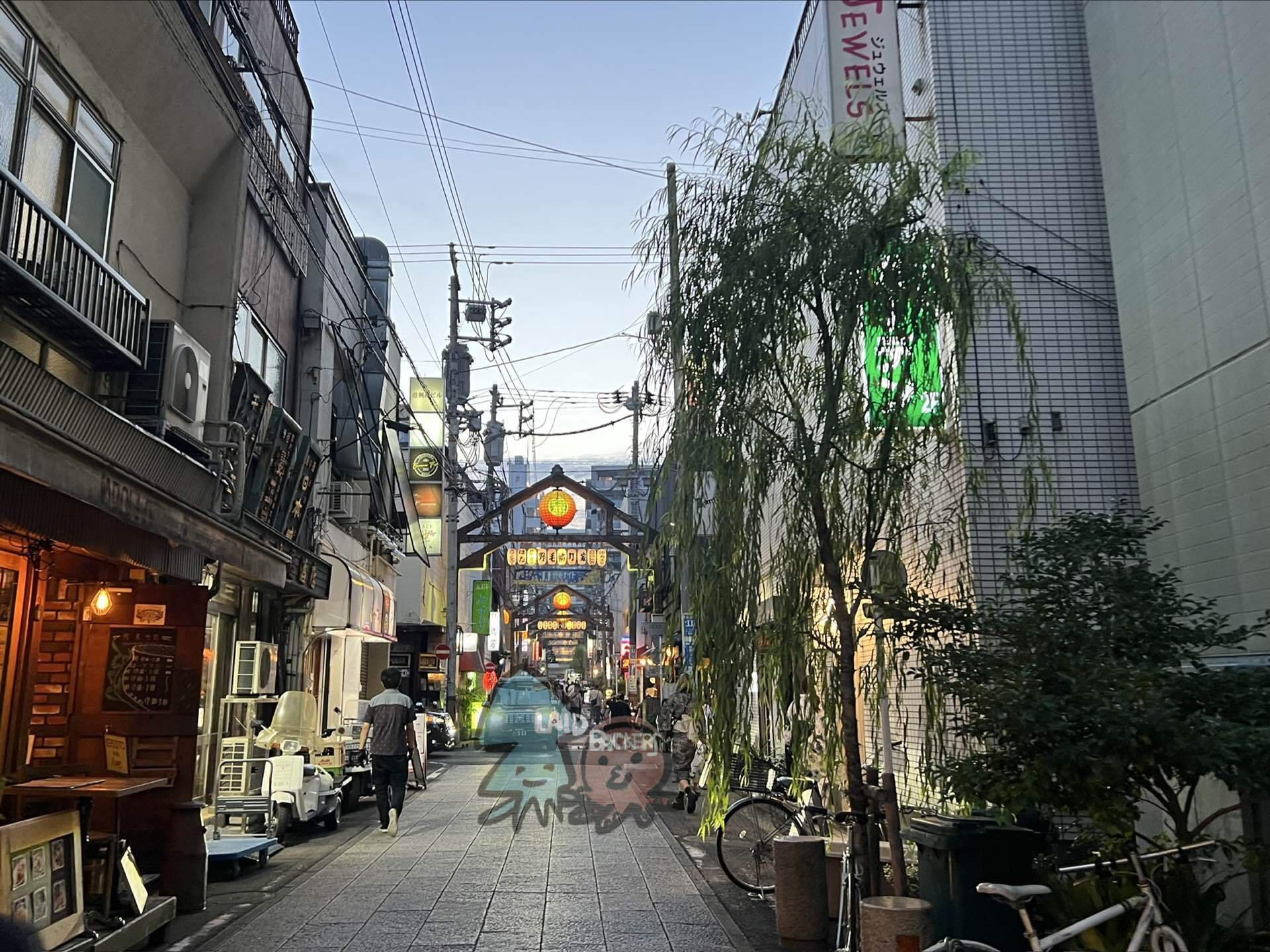
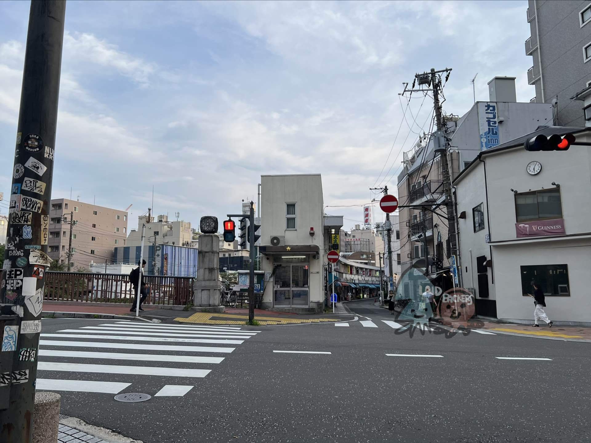
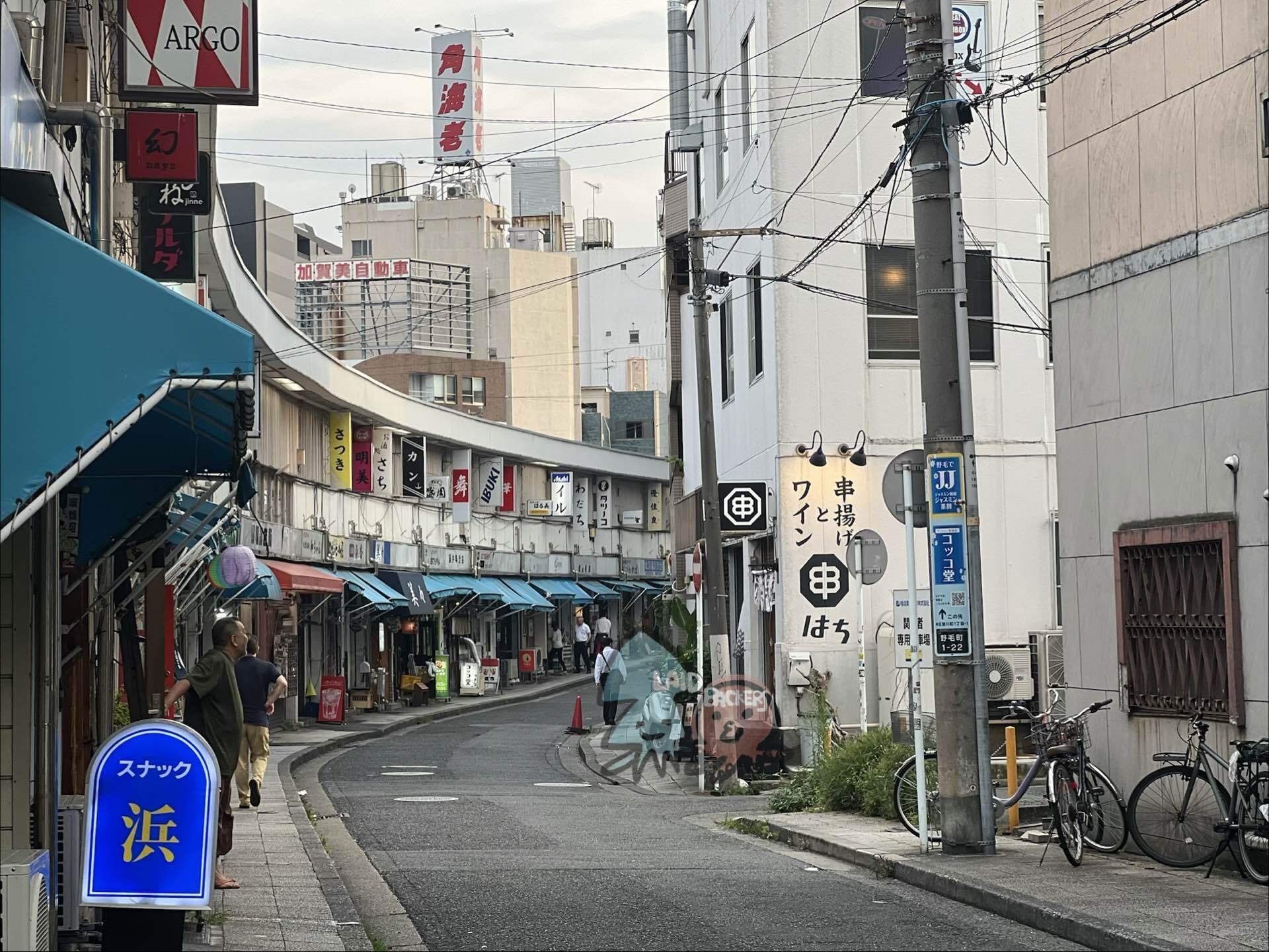
Photos in this section are other people's work, pulled from these blogs for reference: A note.com Noge walk, a Showa-retro architecture blog, and two first-hand storefront blogs.
Iseyama Kotaijingu and Kamonyama Park
The bluff behind the bay. Almost nobody walks this, which is exactly why it is worth it.
Iseyama Kotaijingu
Yokohama's main shrine, founded in the early Meiji period with state funds and built into the hillside above the bay. Both approaches are stone staircases, and a blog devoted to Yokohama's slopes singles out the back approach as a particularly good one. This is the best single architectural subject on the bluff.
Kamonyama Park
High ground directly overlooking Minato Mirai, with the Ii Naosuke statue facing the towers. There is a photo guide written specifically about shooting the skyline from this bluff. Free, and usually empty. The hill was originally called Railway Hill, because foreign railway engineers had their residence on it.
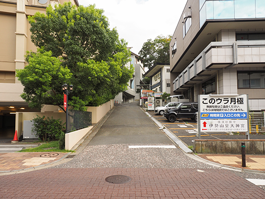

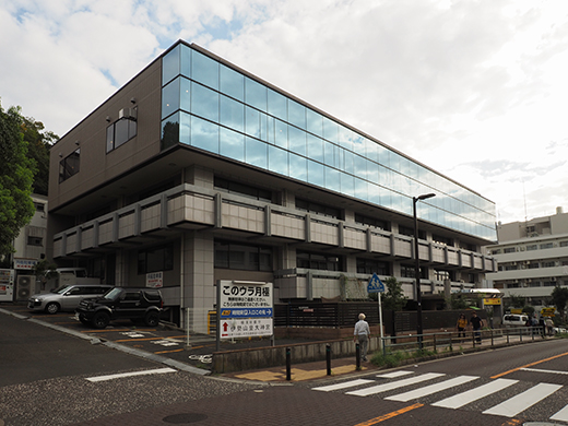
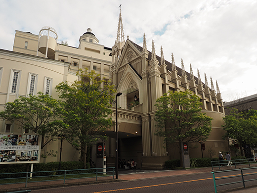
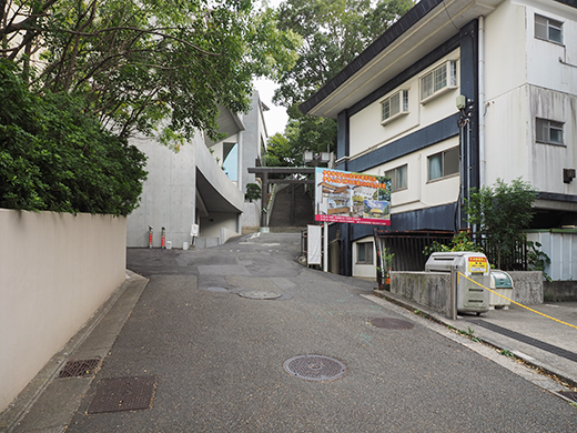
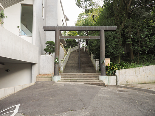
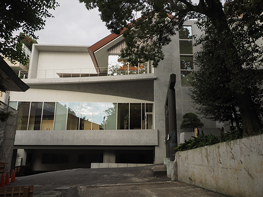
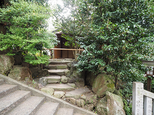
Photos in this section are other people's work, pulled from these blogs for reference: A Yokohama slopes blog, a park-and-view photo guide, and a local walk blog.
Koganecho
The old blue-line district along the Okawa river under the Keikyu elevated tracks, now an art district: galleries and studios in the viaduct arches, and art works appearing along the riverbank. Facilities are closed on Thursdays and how much is open depends on the programme, so check before committing. It sits on the same river as Noge's Dobashi building, about a kilometre further south.
Why it is here
It is a separate trip rather than part of the bay walk, but it is the most distinctive single street environment in the city.
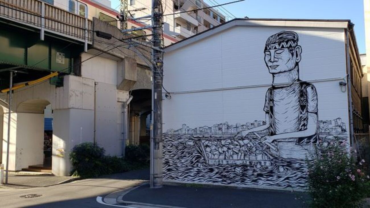
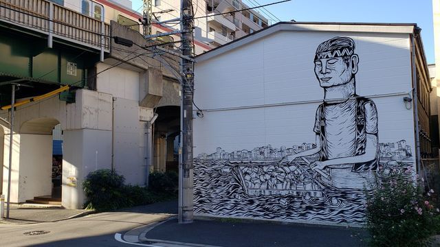
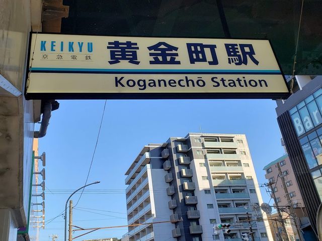
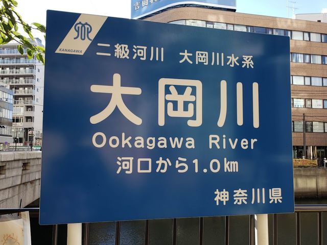
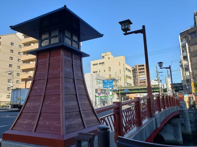
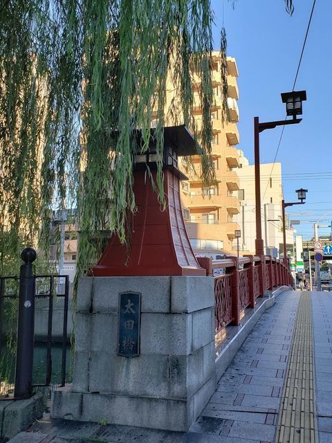
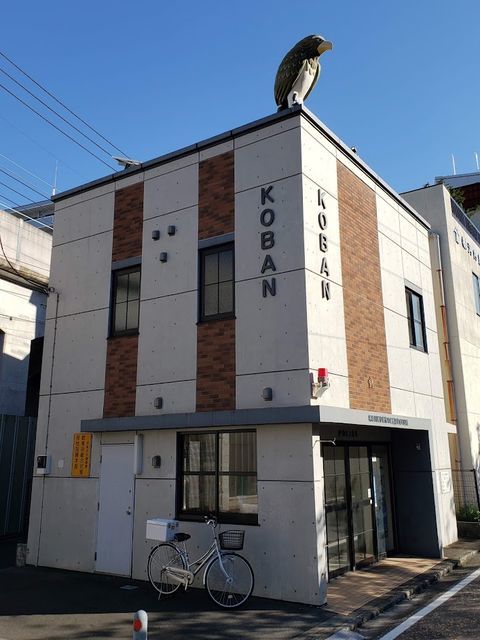
Photos in this section are other people's work, pulled from these blogs for reference: Two Koganecho art-walk blogs and a walking photographer.
Sankeien
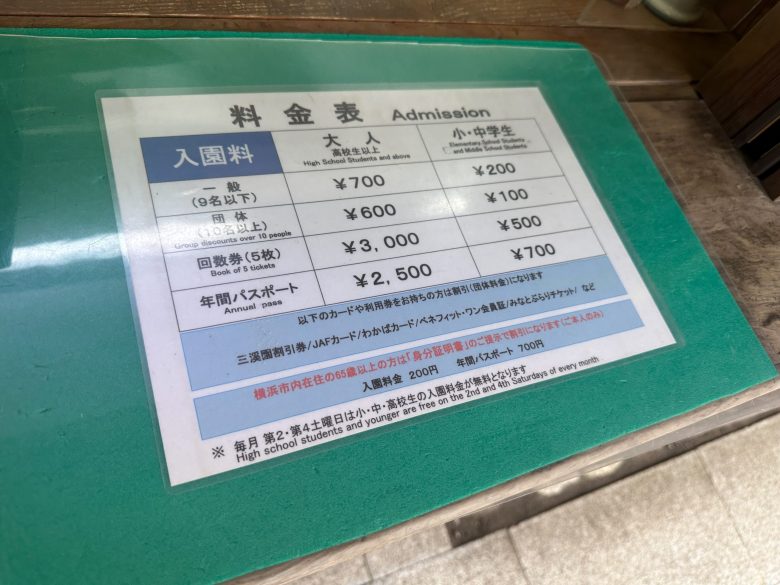
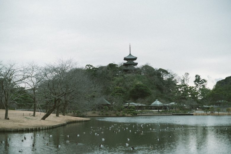
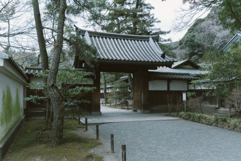
A large traditional garden out in Honmoku, with Important Cultural Property buildings, ponds, and a free official photo library. Admission is reported around 900 yen and it deserves two to three hours. Autumn colour there runs late, peaking late November into early December, so mid-October is still green. It is away from the bay and needs a bus, which is why it is not part of the walk.
If you go
Treat it as a half-day of its own rather than a stop on the bay route.
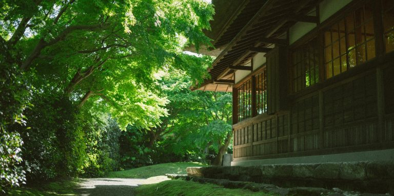
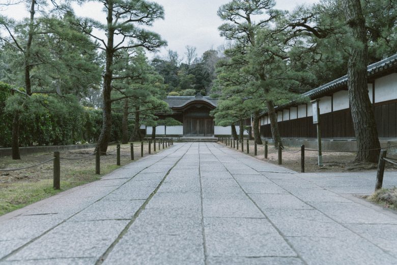
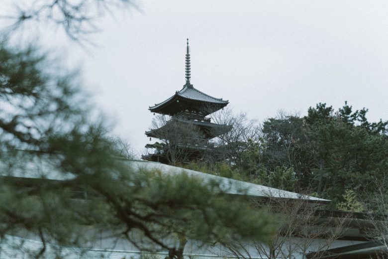
Photos in this section are other people's work, pulled from these blogs for reference: Two garden photography blogs and a travel garden guide.
How this was researched
Spot notes are drawn from first-hand Japanese blogs: Minato Mirai and Yokohama photo-spot guides, a photographers' spot community, a night-photography blog that shoots the elevated promenade, a Chinatown night-snap photographer, a Bashamichi walking blogger, a blog devoted to Yokohama's slopes, Koganecho art-walk guides, two garden photography blogs, and a Noge walk. Official sources were used only for opening hours: the Yamate houses, Nogeyama Zoo, and the marked bay route itself. I have not shot any of these locations myself, and two minor leads (Kitanaka Knot, Megami-bashi) are flagged as unverified.
All photographs belong to the original bloggers, credited per section, and are reproduced here for personal reference only.